Spatial Analytics

Spatial Analytics
CARTO Contributors CARTO Contributors ·

Creating Category Maps with CARTO Builder

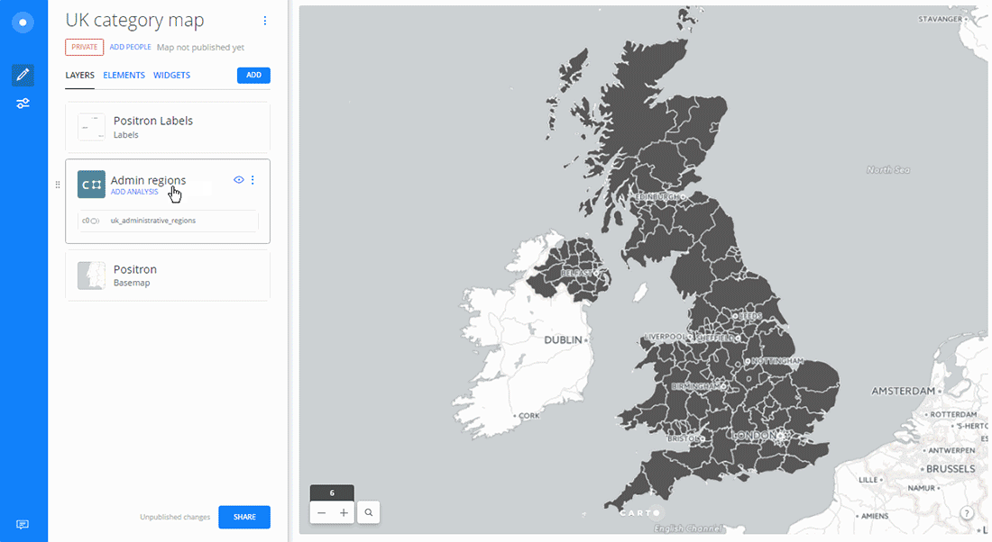
Learn to create Data-Driven Maps with CARTO Builder! Color-code geospatial features by category effortlessly. Improve decision-making now!

Spatial Analytics
CARTO
CARTO Contributors CARTO Contributors ·

Online mapping for beginners! A free online course!

Join our CartoDB online course on December 3rd at 4PM EST, streaming live from our New York offices. Learn the basics of geospatial.

Spatial Analytics
CARTO
CARTO Contributors CARTO Contributors ·

Got files? We've got a Import API

Discover CARTO's Import API: Easily upload files without a browser, create visualizations, and explore seamless integrations. Start your spatial analysis now!

Spatial Analytics
CARTO
CARTO Contributors CARTO Contributors ·

Welcome to CartoDB 1.0

Spatial Analytics