Spatial Analytics

How to use SQL Parameters for more efficient decision-making
Make decisions more efficiently with SQL parameters. Follow this step-by-step guide exploring data-driven insights from Citi Bike analytics.

Self-service spatial analytics with user-defined parameters
Unlock Spatial Insights for non-expert users with User-Defined Parameters. Learn how to democratize geospatial data analysis for faster decision-making.

Calculating Routes at Scale using SQL on BigQuery
A guide to route optimization using Google BigQuery, a cloud-native & scalable alternative to PgRouting & Network Analyst.

CARTO Workflows are here: no code spatial analysis
Introducing CARTO Workflows - a no code tool for processing and analyzing spatial data! Unlock spatial analysis without needing to know SQL or Python.

How to calculate spatial hotspots and which tools do you need?
A comparison of the main spatial hotspot tools and which is best for your use case, including a guide on how to use and interpret these.

Tableau vs Power BI: Why you should stop using them for spatial analysis
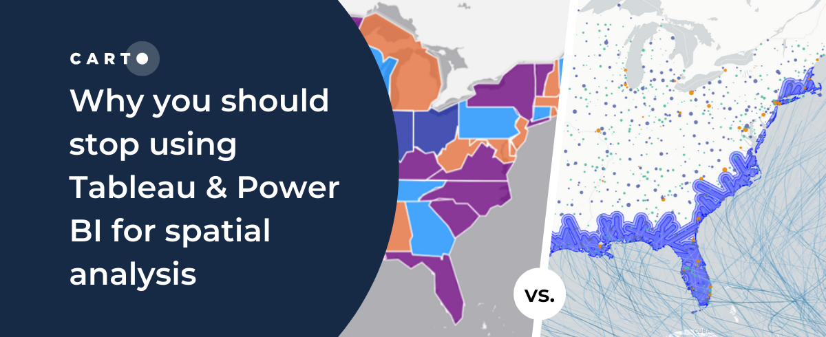
Tableau vs Power BI: why these tools aren’t optimal for spatial analysis. Explore limitations & find solutions for handling complex geospatial data effectively.

Introducing CARTO Workflows: Spatial analytics for all users
CARTO Workflows provides a complete user interface for spatial analysis that leverages the power of spatial SQL and cloud data warehouses.

CARTO’s Ultimate Guide to Spatial Joins & Predicates with SQL
Get started with Spatial SQL with this guide to using spatial relationships.

Exploratory Data Analysis: UK retail centres
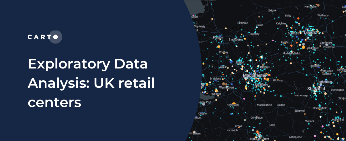
CARTO shares how you can use Exploratory Data Analysis to better understand your data and frame future analysis with CDRC’s latest dataset - UK Retail Centres

Ghost Kitchens: Predictive Location Intelligence
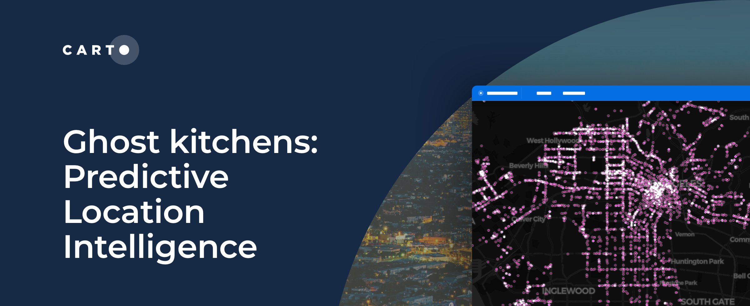
CARTO uses Location Intelligence to predict locations of one of the hottest trends in food delivery - ghost kitchens.
