CARTO SalesQuest is a location-based Sales Analytics solution that applies spatial analysis and location data streams to your company’s sales CRM data.
Learn what isolines are and how to use them at CARTO. Follow this quick guide for creating isolines & trade areas. Use them to derive actionable insights.
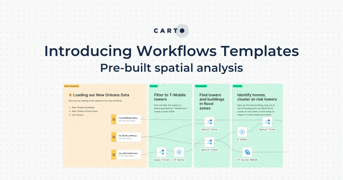
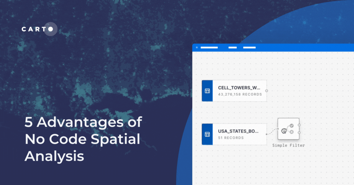
Is no code for spatial analysis possible? Discover 5 advantages to go no code & see CARTO Workflows in action! Reduce bottlenecks, save time & de-risk.
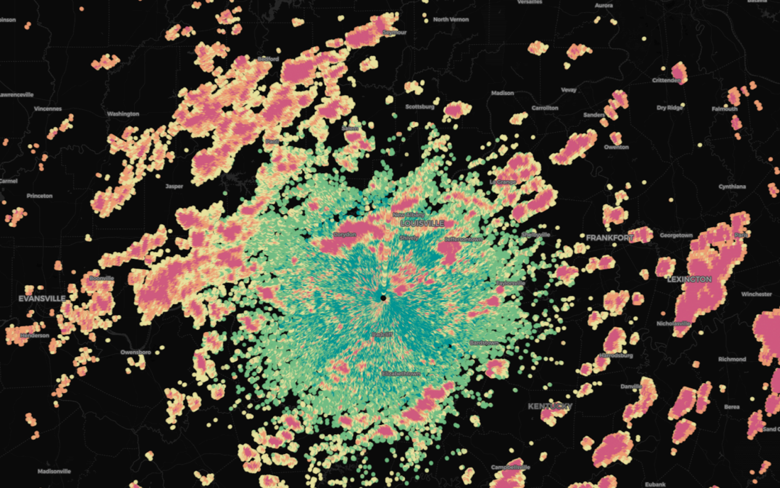
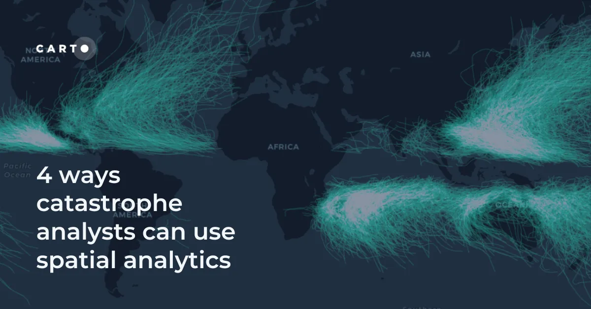
Discover 4 different spatial analytics techniques Catastrophe Analysts can use to understand key climate-related risks for better insurance decision-making.
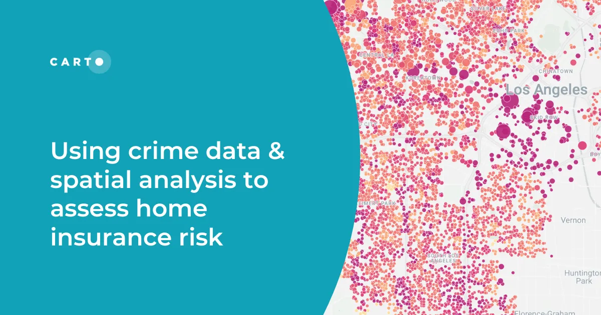
Discover how spatial analysis of crime data can be used for smarter home insurance decisions, including personalized underwriting & targeted marketing.
Spatial Analytics
By clicking "Accept All Cookies", you agree to the storing of cookies on your device to enhance site navigation, analyze site usage, and assist in our marketing efforts.