

Q&A: A Look at NYC's Open Data Approach with Mayor's Senior Project Manager
Adrienne Schmoeker of the NYC Mayor Office for Tech and Innovation answers nine tough questions about open data and smart cities.
Adrienne Schmoeker of the NYC Mayor Office for Tech and Innovation answers nine tough questions about open data and smart cities.
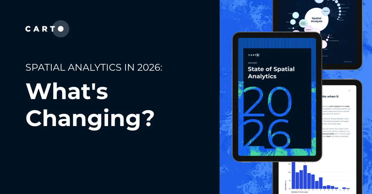
Explore how AI, cloud-native tools, and evolving skills are reshaping spatial analytics in 2026, based on insights from 200+ geospatial experts.

Using descriptive, diagnostic, and predictive analytics transforms location data points into dynamic data insights for your business solutions.

Learn about the latest Location Intelligence trends discussed at CARTO Locations
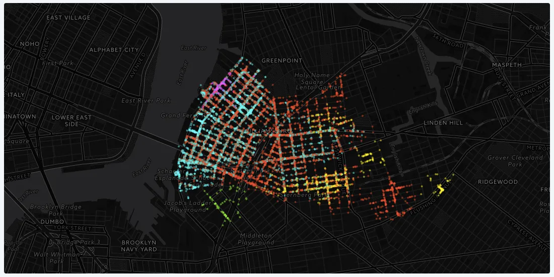
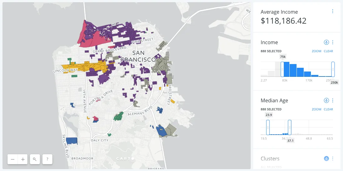
We wanted to explore how we can use data to better understand and define communities of people, going beyond spatial borders like zip code and neighborhood boundaries.
The food industry has always driven technological innovation, and today's connected shopper is more demanding than ever. Learn how food production and delivery will need to rely on location intelligence to keep up.
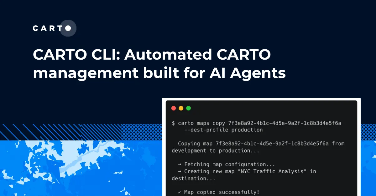
Meet the CARTO CLI: a command-line interface that unifies human expertise, automated pipelines & AI agents into one geospatial operating model.
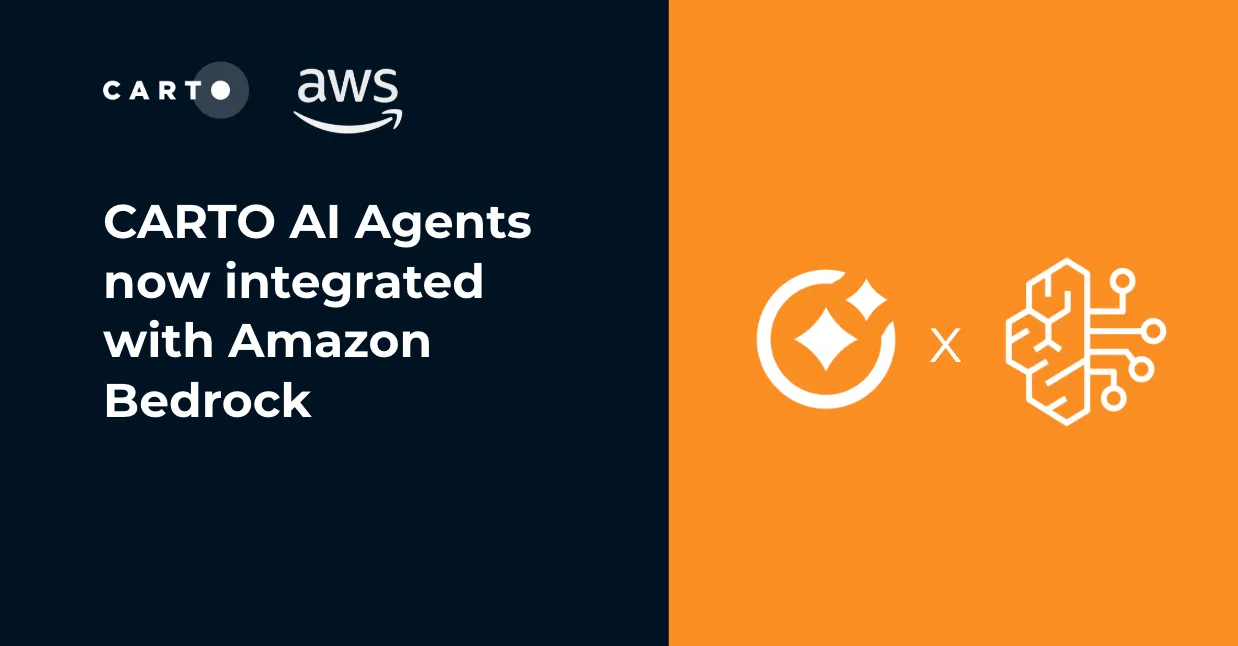
Unlock secure, AI-powered geospatial analysis in your AWS environment. Learn how CARTO's Agentic GIS and Amazon Bedrock integration makes spatial insights accessible to everyone.
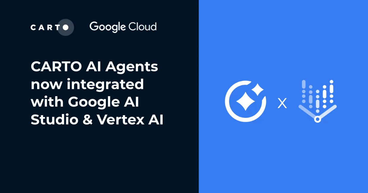
Unlock AI-driven spatial analysis. CARTO's Agentic GIS now integrates with Google AI Studio & Vertex AI to run secure geospatial workflows on BigQuery.
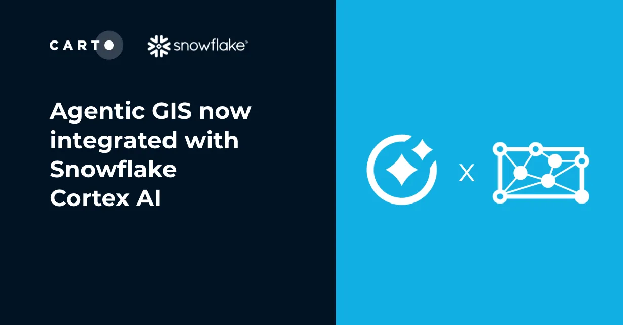
Unlock Agentic GIS in Snowflake. CARTO's native integration leverages Snowflake Cortex AI for secure, powerful, and AI-driven spatial analysis.