

Home
Mapping the historical biodiversity of the Solomon Islands with the American Museum of Natural History

Charting New Terrain in eCommerce with Pitney Bowes
CARTO partners with Pitney Bowes to integrate location intelligence into global commerce, enhancing data visualization and analysis

Reimagining Political Campaigns with our Election Mapping Webinar
CARTO’s New York Summer and Fall Interns

Creating Animated Maps with CARTO Builder
Explore the power of Torque.js, offering innovative geospatial data aggregation for both time and space. Animate and analyze data trends effortlessly!

San Diego's StreetsSD Paves Way to a Smart City
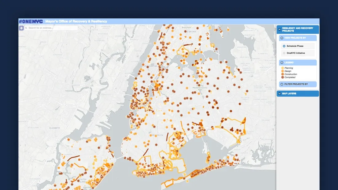
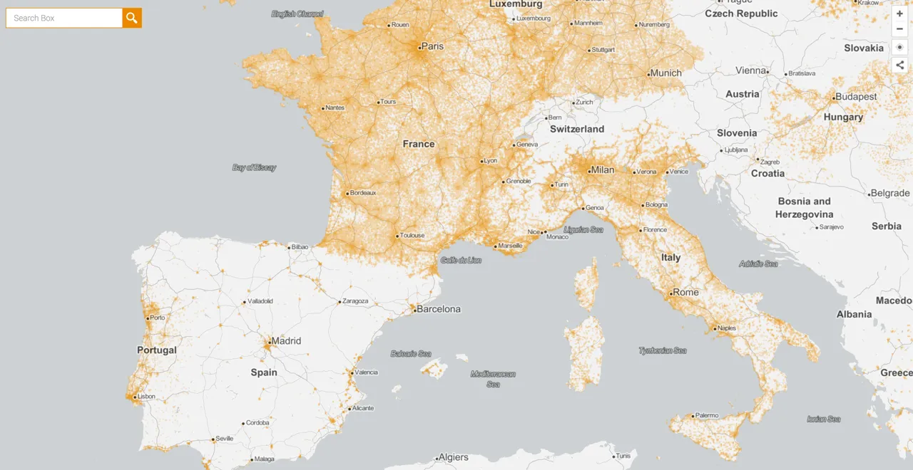
Hurricane Season 2016: Locating Resiliency in Sandy's Aftermath
CARTO aids NYC's Mayor's Office in tackling climate change, visualizing risks, and preventing disasters like Hurricane Sandy. Explore OneNYC's efforts.
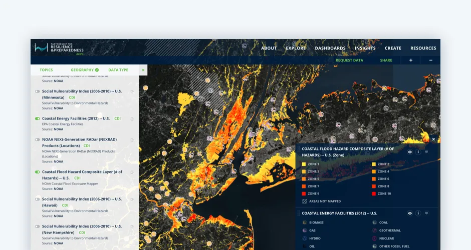
The Revolution will be Visualized: CARTO joins PREP
Discover CARTO's role in the Partnership for Resilience and Preparedness (PREP), empowering global climate resilience planning.
CARTO’s Open Data Week 2016 Preview
Immerse yourself in the world of Open Data at CARTO's Madrid event! Engage with global innovators, explore workshops, and join discussions.