


Home

CARTO Core Team and 5x
We're in charge of the key open source components, and the first problem we've tackled is overall performance.
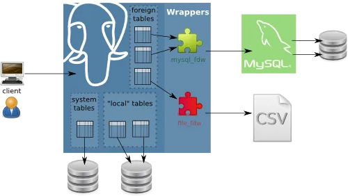
CARTO's Use of Foreign Data Wrappers
Very different databases can be linked using this PostgreSQL feature.
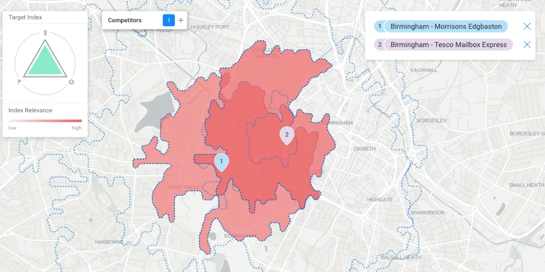
Get Smarter About Retail Site Monitoring
Integrating modern derivative datasets to work alongside existing customer data, and analyzing it all using geospatial analytics will paint a far clearer picture of site health at all scales.
Happy Birthday CARTOframes, CARTO's Python Interface
A fireside chat about CARTOframes, CARTO's Python interface, on its first birthday

Happy PostGIS day!
Happy PostGIS day! Connect CARTO to Franchise, a SQL tool with a notebook interface. Analyze and visualize your PostGIS data seamlessly.

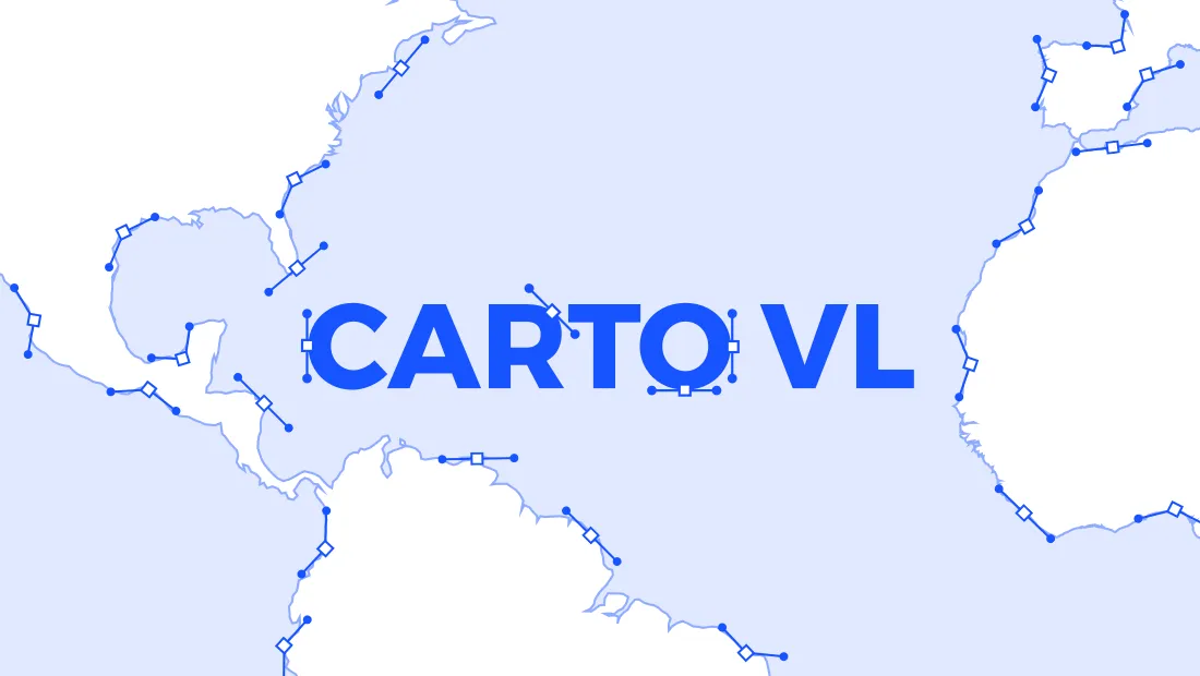
Harness the Power of Vector with CARTO VL
Six months after the beta, CARTO officially launches CARTO VL a JavaScript library for vector-based visualization and analytics in Location Intelligence applications
How to use CARTO.js with React
Example of how to create a naive application with CARTO.js and React.
Introducing CARTO VL - Vector Technology for Location Intelligence
Introducing CARTO's new Vector Library, enabling faster rendering speeds, enhanced capabilities for on-the-fly analysis, responsive data-driven visualizations, and dynamic user interactions
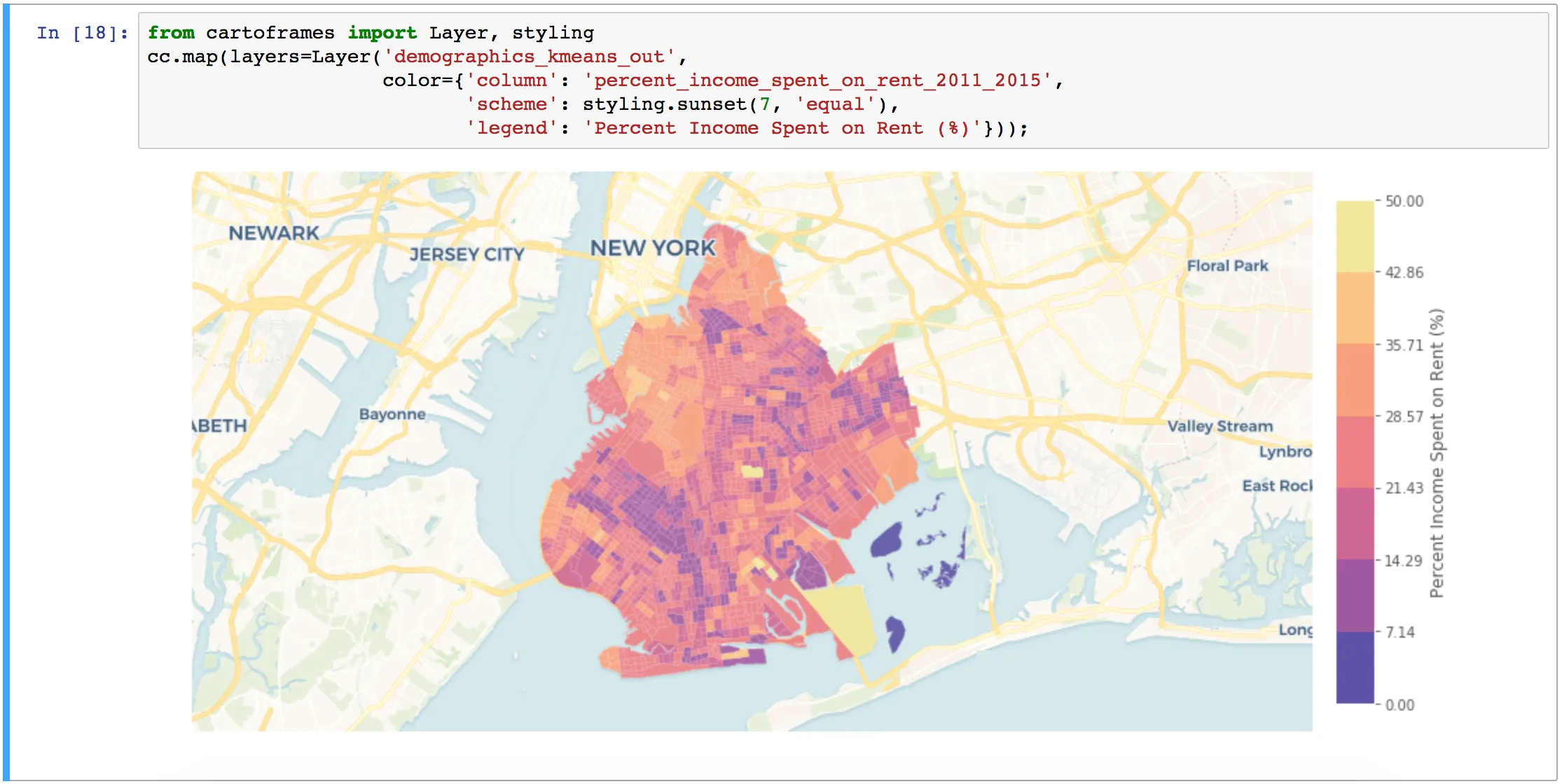
Introducing CARTOframes: A Python Interface for CARTO
CARTOframes allows data scientists to extract the power of CARTO without leaving their Python environment.