

Location Analytics: A Roadmap to Post COVID-19
Everyone has the same question: when will we return to normal? Spatial analysis has helped immensely to contain the spread, now how will it help us recover?
Everyone has the same question: when will we return to normal? Spatial analysis has helped immensely to contain the spread, now how will it help us recover?
A look at how spatial data & analytics can become insightful resources to those designing, monitoring & optimizing responses against COVID-19.
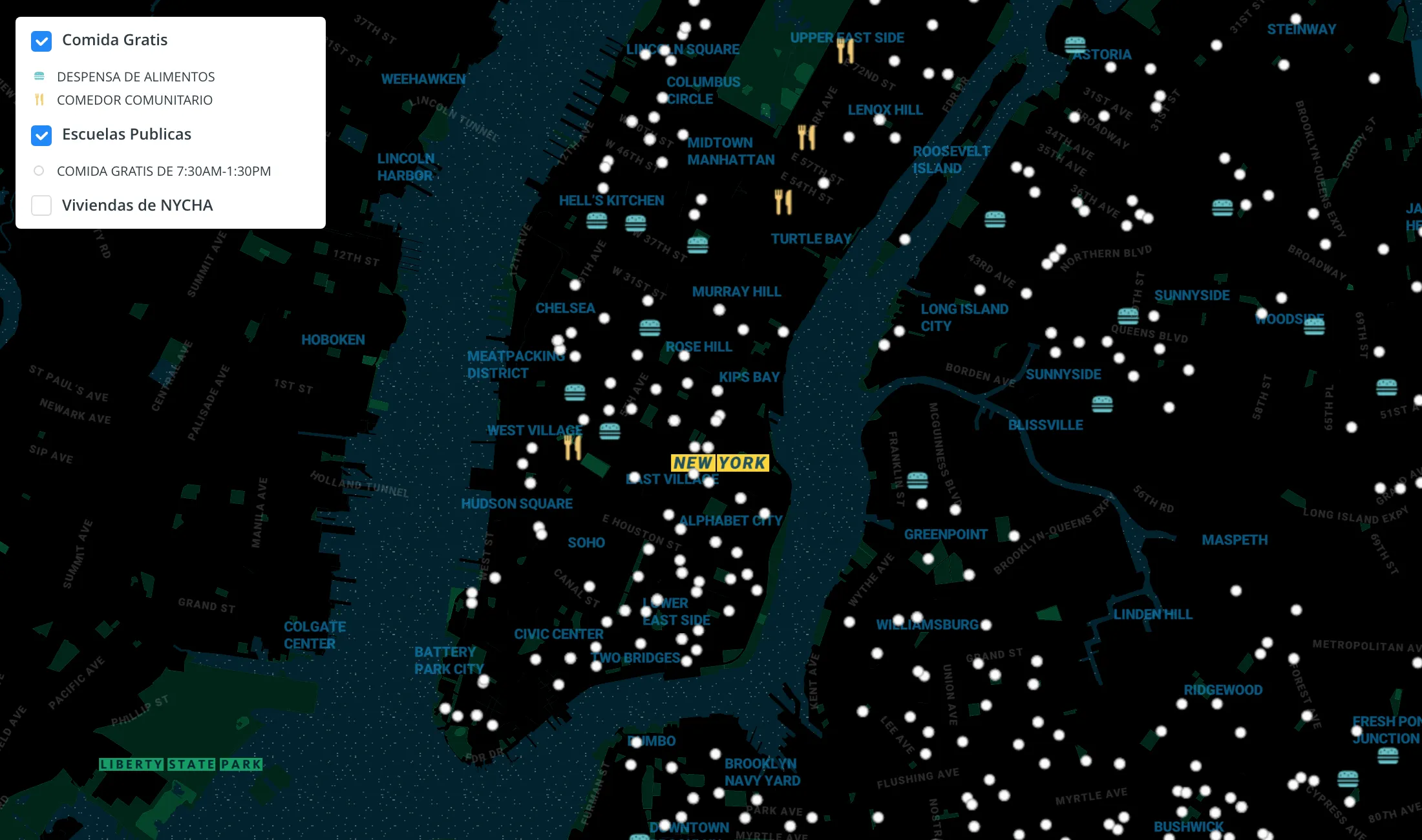
We explore how Territorial Empathy are using spatial analysis to visualize food access across NYC during the pandemic.
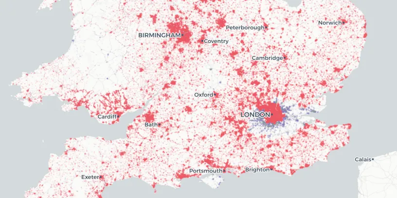
How can online grocery shopping businesses use spatial analysis & route optimization to optimize through panic-buying? We explore real-life examples.

#StudentsAgainstCorona is a platform supported by our grants program enabling the pairing of volunteers with the elderly & vulnerable individuals who need support through the Coronavirus lockdown.
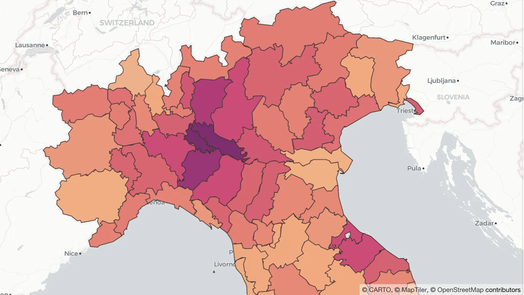
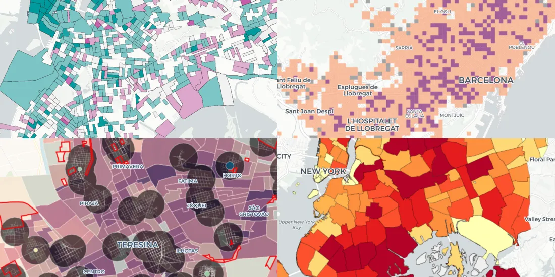
Analyzing the relationship between human mobility and the spread of COVID-19 in Italy.
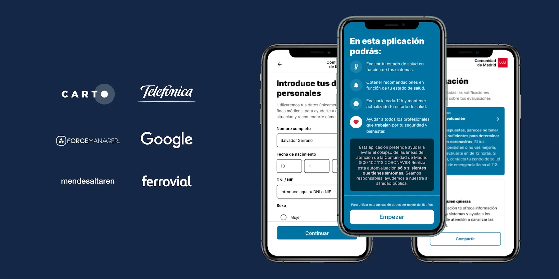
CARTO work alongside ForceManager, Mendesaltaren, Telefonica, Google, Ferrovial & others to slow down the spread of COVID-19

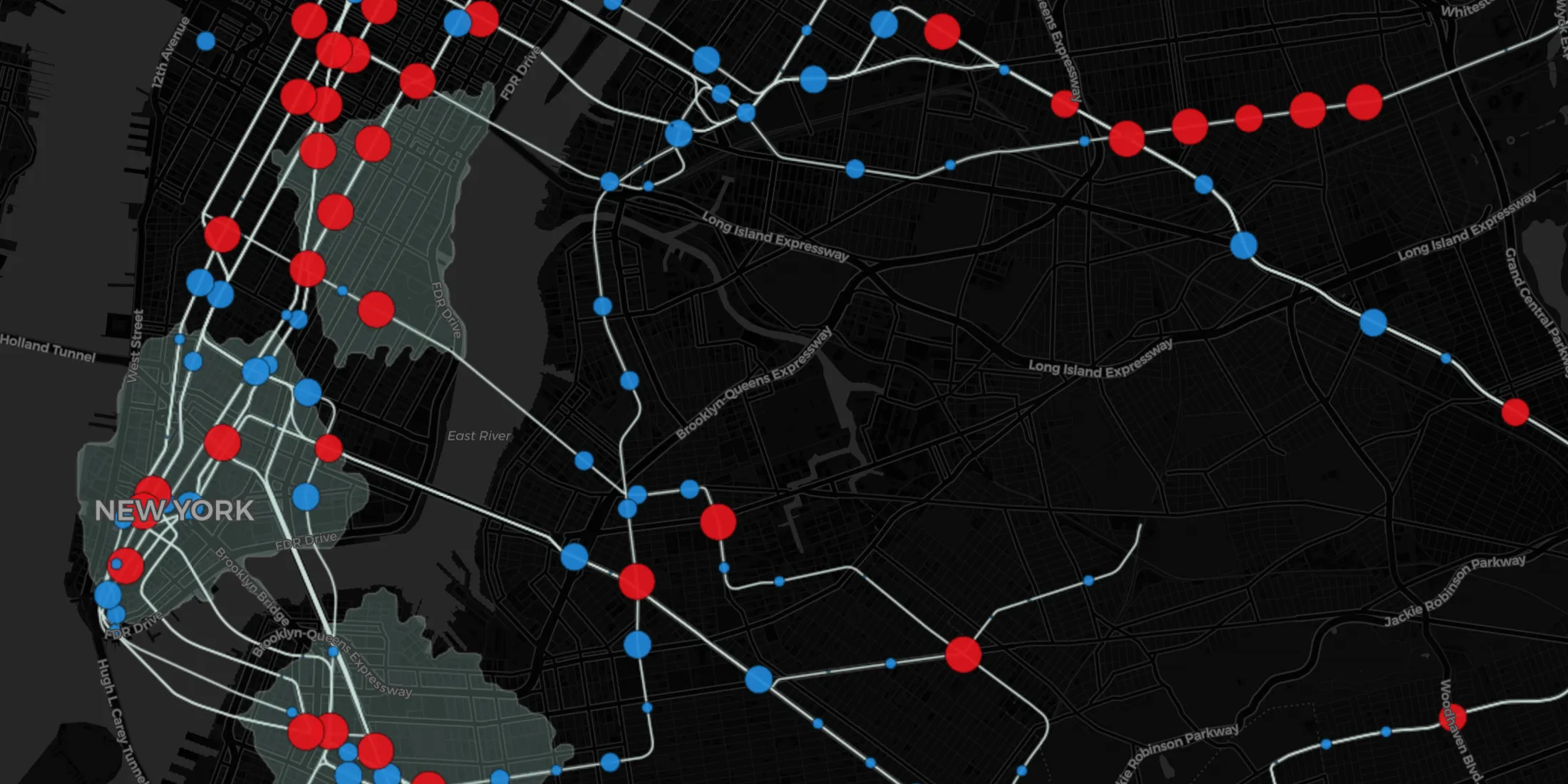
A look at the impact of Coronavirus on Meetup RSVPs including the correlation between the location of COVID-19 cases and attendance in Italy
Kepler.gl and CARTO users can now work seamlessly across both tools. Our integration adds a new cloud storage feature to Kepler.gl, allowing users to share and save maps privately using CARTO.
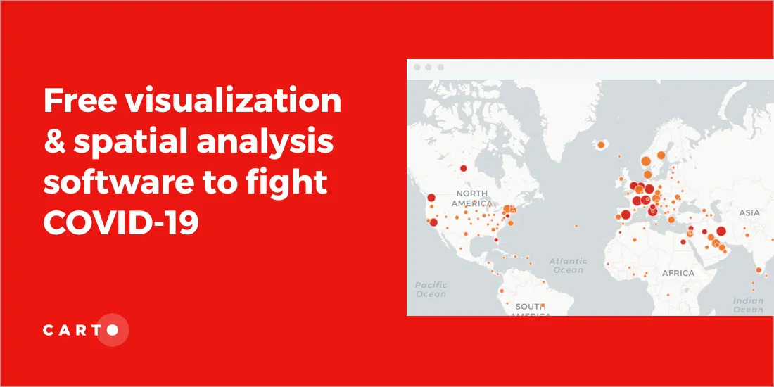
The CARTO Grants for Good program gives organizations fighting COVID-19 access to our platform for mapping & visualization of the outbreak