

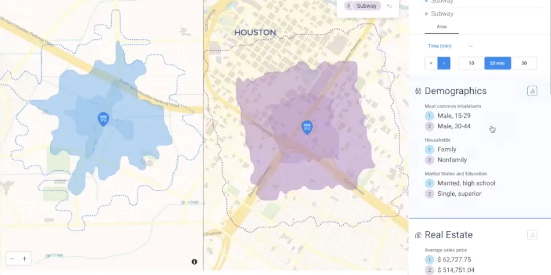
Retail Data Analytics: Social & Credit Card Data
Within Retail Data Analytics we combine social media & credit card data to see how retailers can gain key market insights, optimize footprints, & boost sales.
Within Retail Data Analytics we combine social media & credit card data to see how retailers can gain key market insights, optimize footprints, & boost sales.

Following the introduction of the Direct SQL Connection read how Databricks can be integrated into the CARTO platform to further empower Data Scientists.
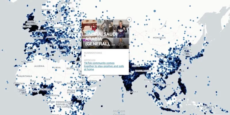
The GDELT Project describe how to use Google BigQuery to visualize their dataset of online news coverage focusing on COVID-19

Michael Bauer International's wide range of spatial data is available through CARTO's Data Observatory to provide socio demographic insights & digital boundaries.
Our partner Liveli takes a look at how to visualize spatial data from Google Analytics using BigQuery, gaining deeper insights from website traffic.
Join us this October for #SDSC20, a free virtual conference featuring expert speakers & panelists sharing details of their work in Spatial Data Science.
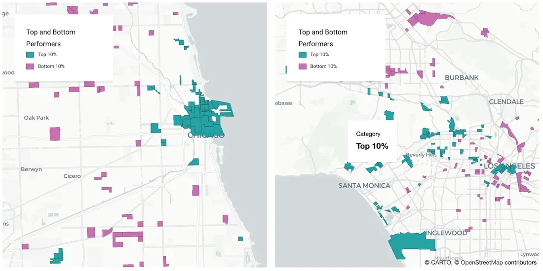
With many retailers consolidating stores & focusing on curbside pickup, comparative market analysis real estate can identify twin areas to maximize revenue.
One of our partners, makepath, describe how to use multiple open source spatial libraries for COVID-19 analysis focusing on the US meatpacking industry.

A walkthrough of how to use publicly available COVID-19 data sets for spatial analysis using CARTOframes and our Data Observatory.
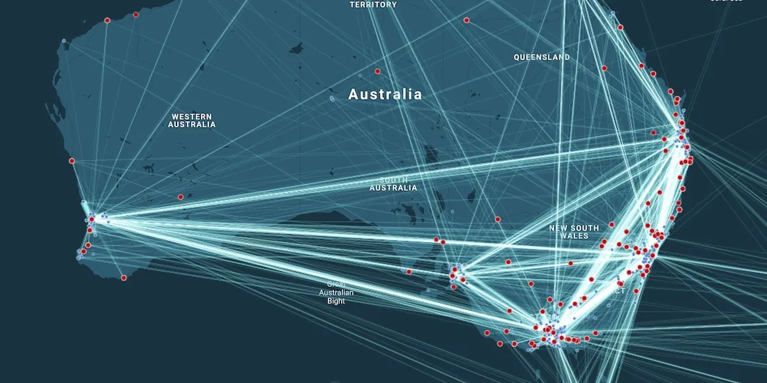
A look at how Spatial Analysis & Location Data can provide the tools & techniques for Supply Chain Network Optimization