


Using Location Intelligence to Combat Litter with PMI
In partnership with Philip Morris International, Litterati, & Cortexia, read how Spatial Data is being used to combat litter beginning with Lisbon, Portugal.
In partnership with Philip Morris International, Litterati, & Cortexia, read how Spatial Data is being used to combat litter beginning with Lisbon, Portugal.

For our Map of the Month read how Enveritas use CARTO to analyze the traceability & sustainability of coffee supply chains around the world.
School District Boundary Data from ATTOM Data Solutions is now available within our Data Observatory for use in your models & spatial analyses
Read a summary of the DeepFin (where Fintech meets Deeptech) Investor Masterclass we recently held with J.P.Morgan, a leading global financial services firm.
A look at the key differences of raster vs vector maps for geospatial data visualization, advantages & disadvantages of each, & which are the best.
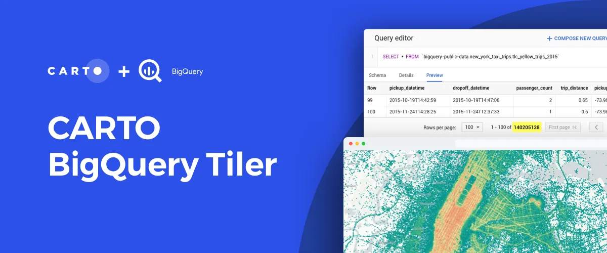
Discover CARTO BigQuery Tiler, the only solution to visualize large location datasets straight out of Google BigQuery. Start creating stunning maps in minutes.

See how idealista used geospatial analysis & real estate location data to uncover fascinating insights on coastal property demand in Spain

CARTO is now a Google Cloud Partner & available on the Google Cloud Platform Marketplace enabling analysis & visualization within a rich ecosystem.

Play&go with the collaboration of dotGIS develops an app using CARTO's platform to ensure health & safety on the beaches of Valencia, Spain.

See how private & public sector organizations use Google Cloud Platform with CARTO to share insights & map visualizations relating to the coronavirus pandemic.