


CARTO selected by AI4Cities to accelerate City Sustainability
We are pleased to announce that we have been selected to participant in AI4Cities, a project to help cities accelerate their transition towards carbon neutrality
We are pleased to announce that we have been selected to participant in AI4Cities, a project to help cities accelerate their transition towards carbon neutrality

Register now to see our talk at Snowflake Summit 2021 with Indigo Ag on how spatial data flows out of Snowflake into map-centric apps.

We are very pleased to announce the appointment of Javier de la Torre, Founder & CPO of CARTO, to The Open Geospatial Consortium's (OGC) Board of Directors
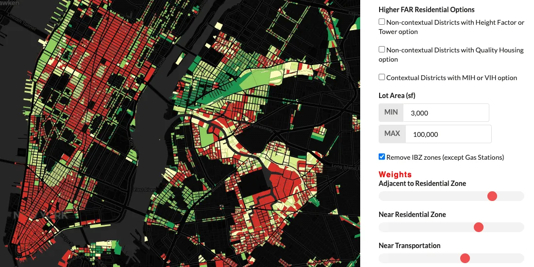
The increase in WFH due to the pandemic is causing changes in many industries, not least real estate–see how spatial analysis can identify new demand

The pandemic has significantly affected waste management in our cities - read how Location Intelligence can be used to optimize collection & reduce costs.
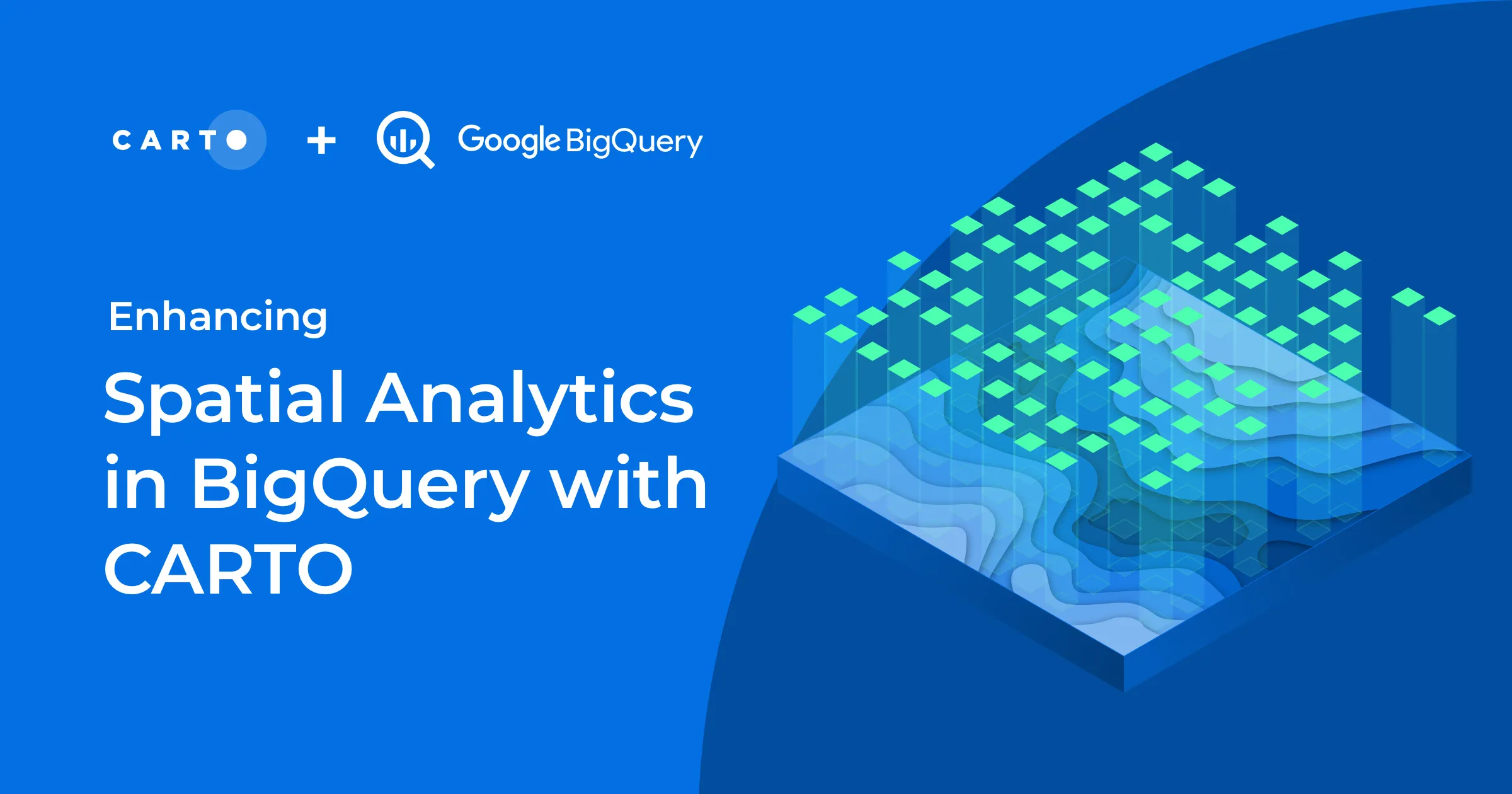
We are excited to introduce the CARTO Spatial Analytics in BigQuery, a suite of functions & procedures to perform spatial analysis natively within the Google BigQuery environment using SQL

How can Location Intelligence be used for Sustainability? Discover some examples including sustainability for agriculture, environment, mobility, cities, & more

Recently we published a map to track the COVID-19 vaccination rollout in the US–learn how this Cloud Native Spatial App was developed using CARTO & Google Cloud

AenaMaps, a solution developed by CARTO, Telefónica, & Situm, leveraging indoor mapping to provide navigation within Aena's airports expands to Barcelona

How is vaccination progressing in the US at an individual level? Find out using our interactive COVID vaccination tracker app visualizing every person in the US