

Hexagons for Location Intelligence: Why, When & How?
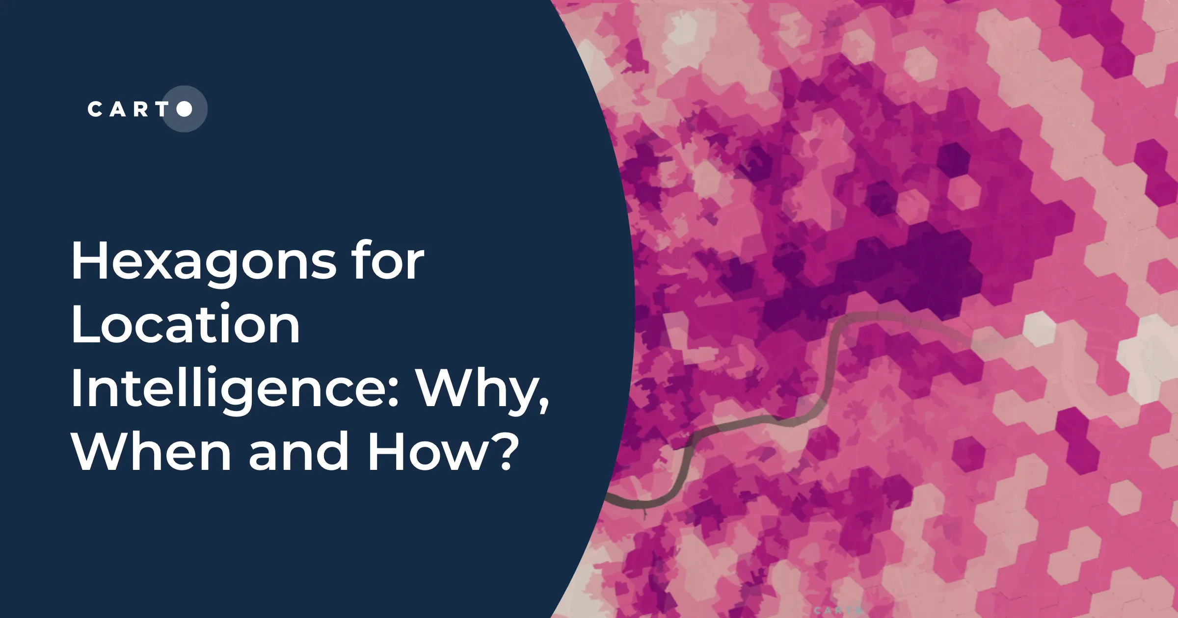
CARTO explains how using hexagonal grids in your location-based analysis can lead to more efficient analysis and greater insight.
CARTO explains how using hexagonal grids in your location-based analysis can lead to more efficient analysis and greater insight.
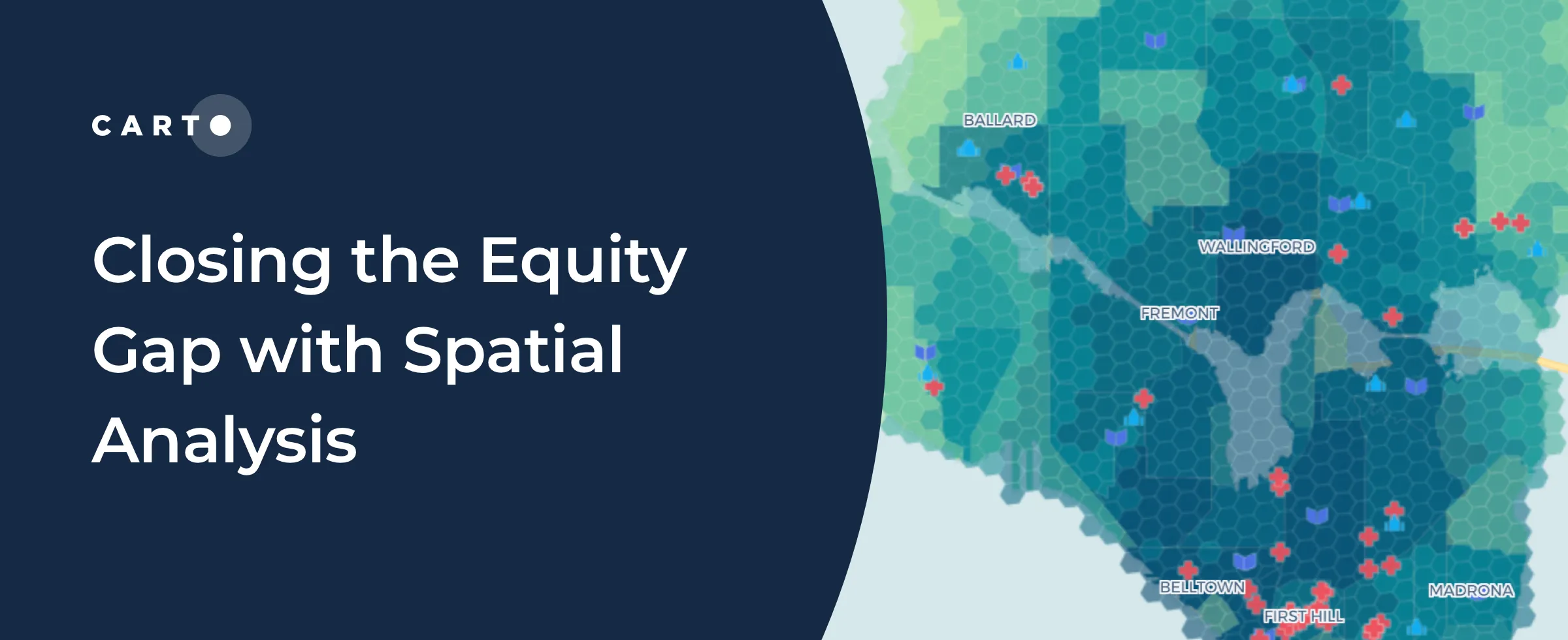
“See how spatial analysis can be used to determine & visualize where access to resources is equitable & inequitable so we can start closing the U.S. equity gap.”

“We’re excited to be sponsoring, attending and presenting at multiple AWS Summits in 2022! Learn more and find out where we’ll be here."
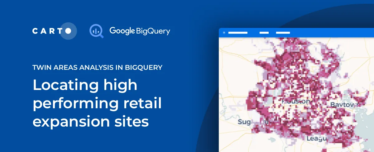
The Retail module in our Analytics Toolbox for Google BigQuery now includes Twin Areas analysis, an essential tool in Site Selection analytics. Learn more.

“See how Local Outlier Factor can be used as a tool for understanding the spatial patterns of retail store locations."
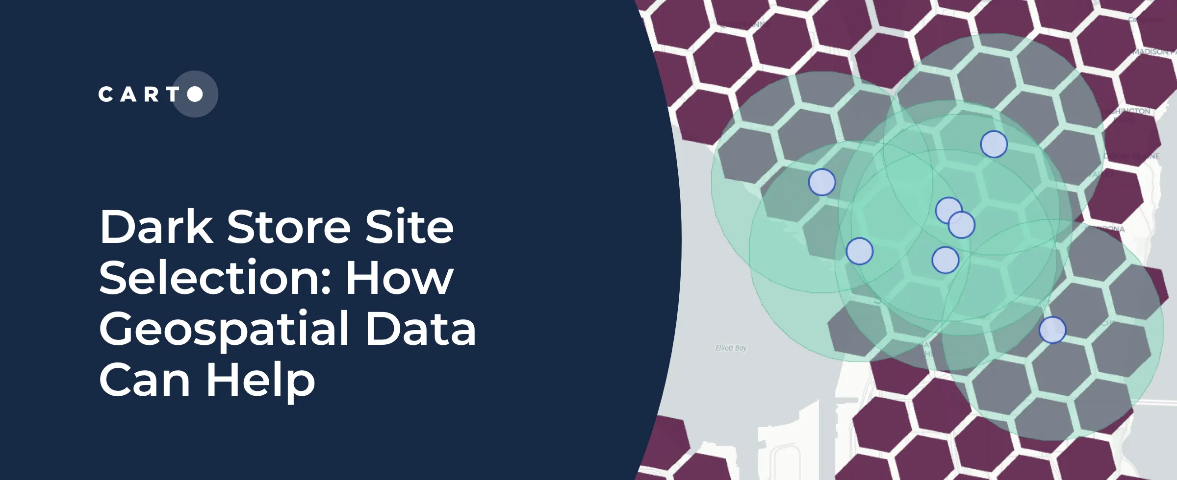
See how market leaders are doing dark store site selection using geospatial data & analytics with CARTO & Snowflake.
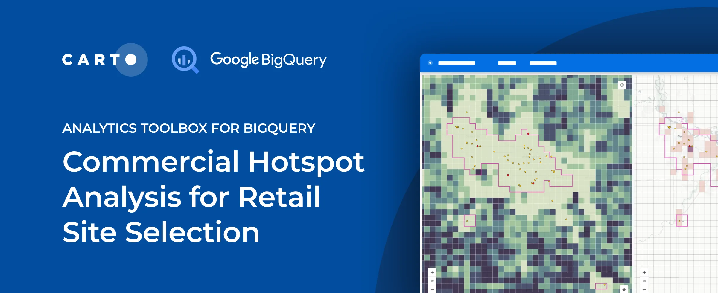
Explore an alternative analytical approach to tackle site selection decision-making based on advanced statistical techniques for retailers.

“We’re happy to announce our partnership with Google Cloud to expand our solutions to help tackle climate and environmental issues.”

We’ve been busy at CARTO in Q1! Learn about the CARTO platform and product updates we made throughout Q1.

Data Governance is becoming a priority for many enterprise organizations. See how CARTO Self Hosted on Kubernetes works with VMware.