

Tableau vs Power BI: Why you should stop using them for spatial analysis
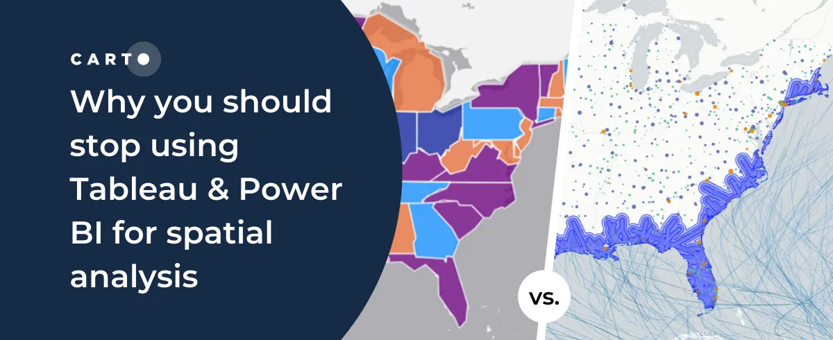
Tableau vs Power BI: why these tools aren’t optimal for spatial analysis. Explore limitations & find solutions for handling complex geospatial data effectively.
Tableau vs Power BI: why these tools aren’t optimal for spatial analysis. Explore limitations & find solutions for handling complex geospatial data effectively.

A guide to the pros & cons of OpenStreetMap geospatial data, and how to access it via Google BigQuery
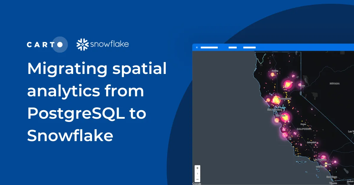
Discover seamless migration steps from PostgreSQL to Snowflake for advanced spatial analytics. Unleash the power of CARTO for scalable, performant workflows.

The Climate Data Factory's (TCDF's) ready-to-use forward-looking climate change data is now available in the CARTO Data Observatory.
Miss the Spatial Data Science Conference in NYC? Here’s a quick recap as well as information about how to get involved in future events.

CARTO Workflows provides a complete user interface for spatial analysis that leverages the power of spatial SQL and cloud data warehouses.
Announcing our latest release of CARTO cloud-native features for Q3 2022.

We explore how IoT Analytics use cases are driven by geospatial data for catastrophe modeling, in smart cities & supply chain.
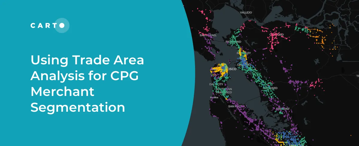
See how CPG data teams use trade area analysis, consumer insights & spatial data to optimize point of sale networks
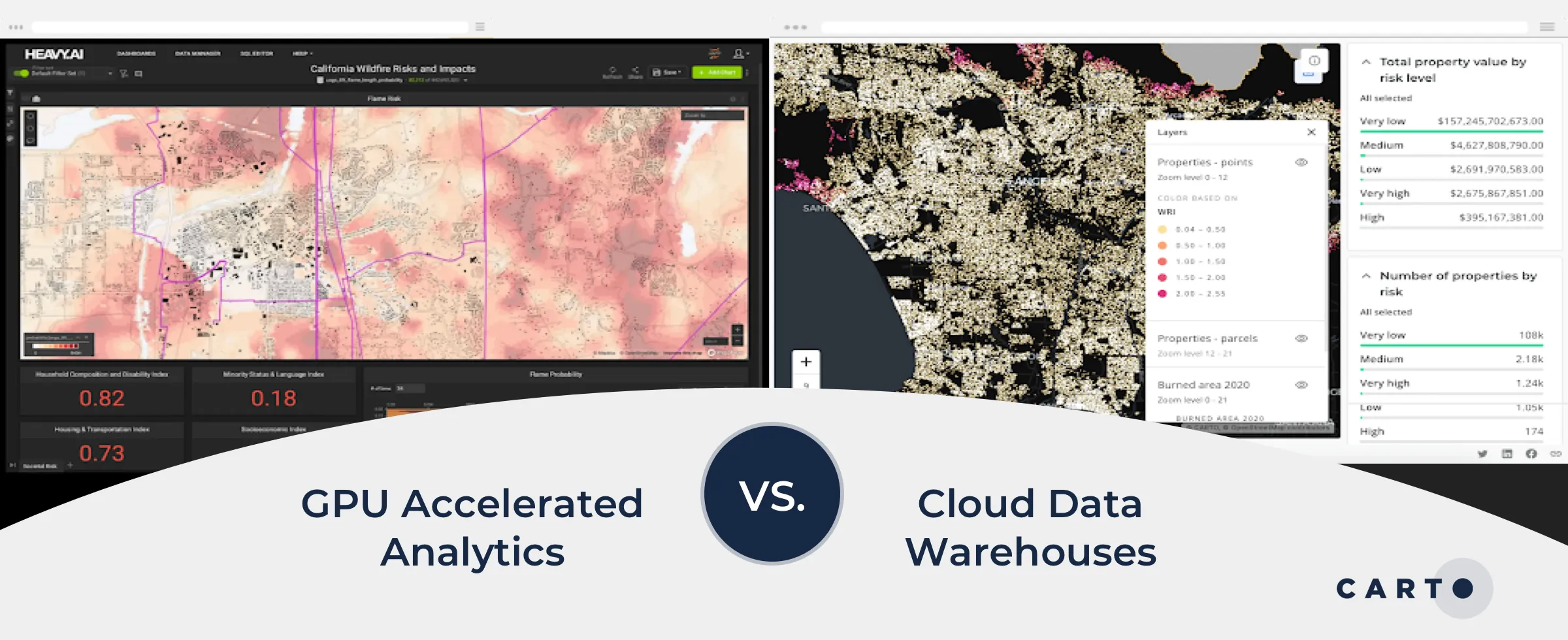
We explore the benefits of using data warehouses with spatial capabilities over GPU accelerated analytics for geospatial analysis.