

New to CARTO: Gloval Analytics’ housing data
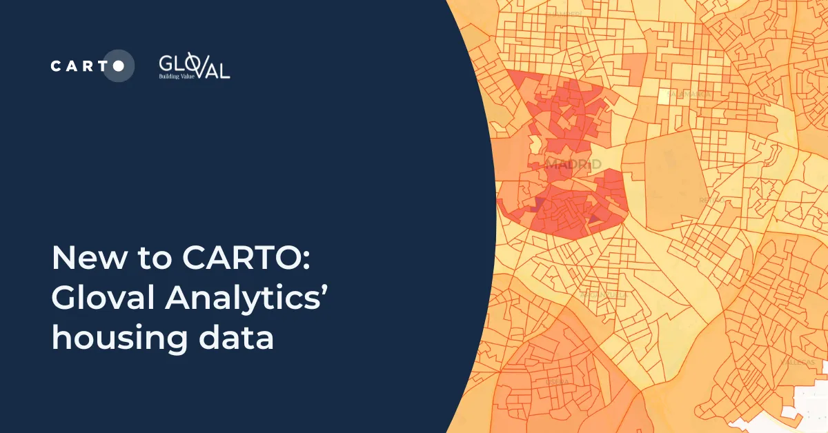
See Gloval Analytics' data from CARTO's Data Observatory in action, including real estate, energy performance and environmental risk use cases
See Gloval Analytics' data from CARTO's Data Observatory in action, including real estate, energy performance and environmental risk use cases

We’re excited to announce that CARTO has successfully achieved Google Cloud Ready - BigQuery Designation.

Find out what Geographically Weighted Regression (GWR) is, how it works, when to use it & how to use spatial indexes in conjunction.
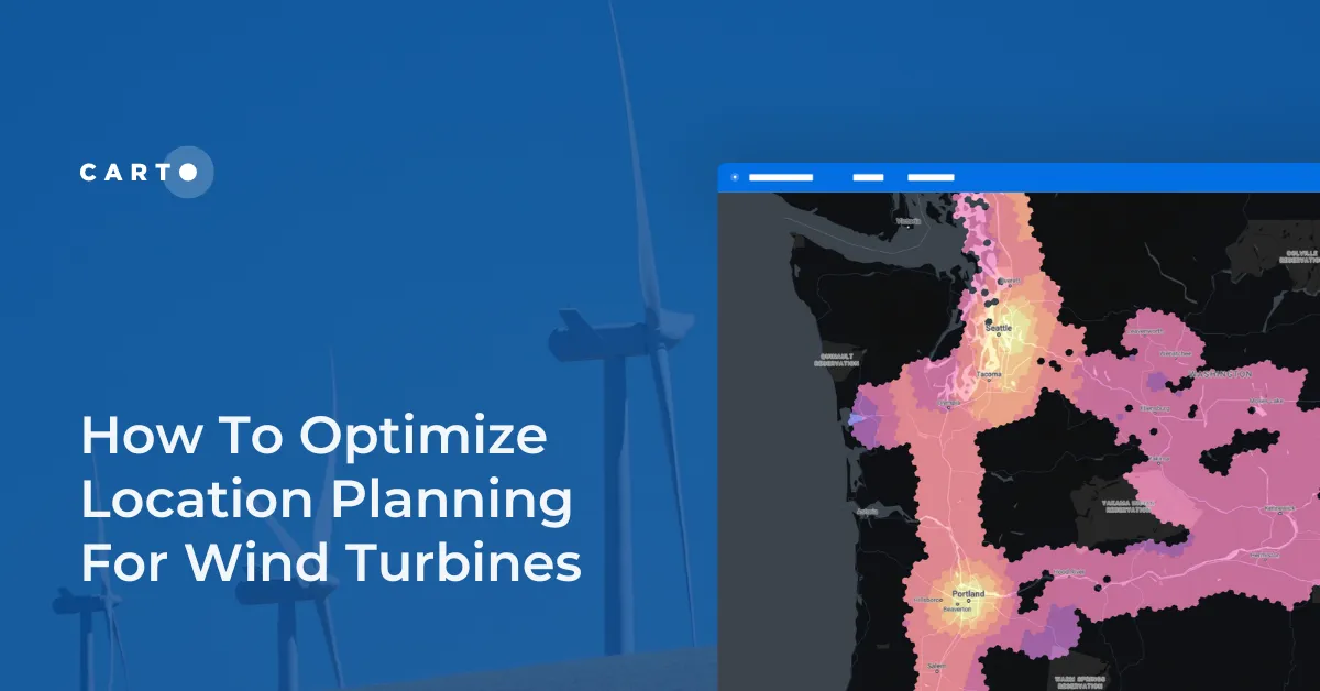
Optimize wind farm locations with our guide on location planning for wind turbines. Explore criteria, spatial analysis, and use CARTO for a free trial.
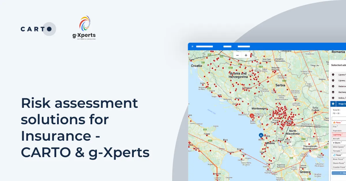
Learn how g-Xperts have worked with CARTO to develop a series of cloud-native geospatial applications, including an advanced risk exposure solution.

Missed the first Spatial Data Science Bootcamp in London? Here’s a recap of the event and information about future events.
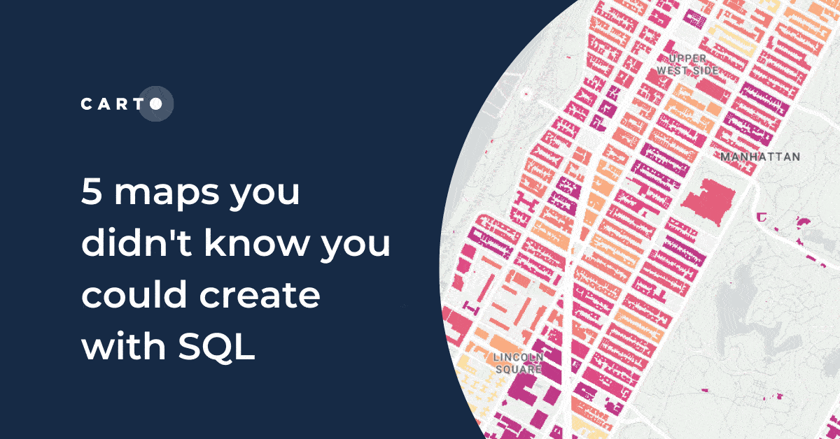
Did you know you can use Spatial SQL to create amazing maps and data visualizations? Learn how with these five examples.
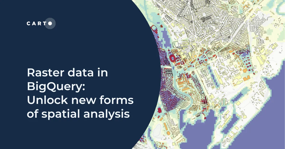
Learn how to combine your vector and raster-based analytics in the cloud for extra insights and new types of analysis.
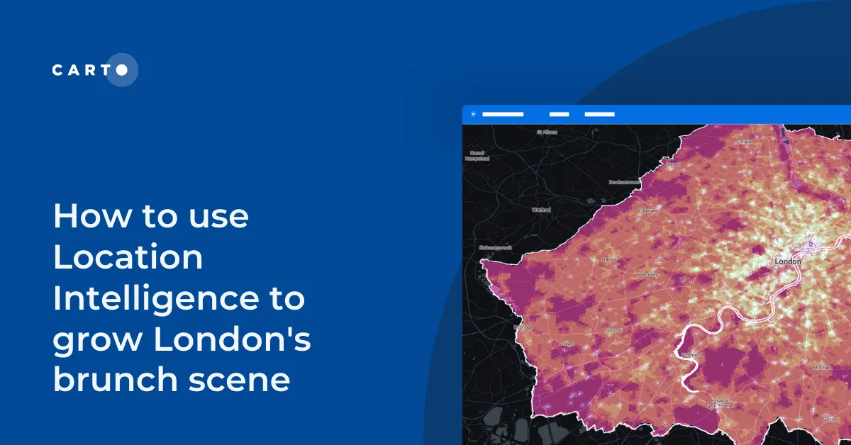
How to use Location Intelligence tools to establish new opportunities for specific restaurant types, based on geosegmentation and catchment areas.
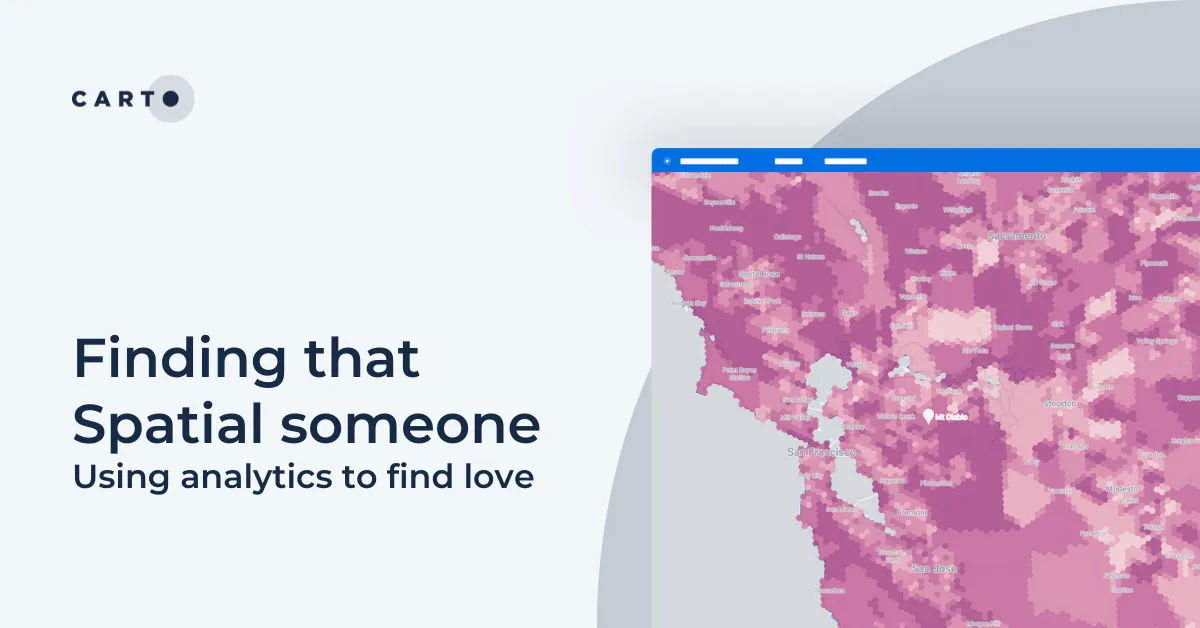
What role does location play in dating apps? This guide shares how spatial analysis can be used to optimize dating apps with real examples.