

The State of Spatial Data Science 2024 - get your free copy!
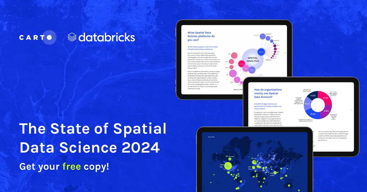
Download your FREE copy of The State of Spatial Data Science 2024; stay ahead with insights on AI, cloud integration, GIS, climate impact & more!
Download your FREE copy of The State of Spatial Data Science 2024; stay ahead with insights on AI, cloud integration, GIS, climate impact & more!
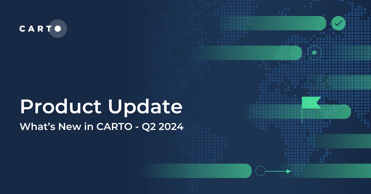
Explore the latest CARTO platform features unveiled in Q2 2024! Working with external APIs, raster data, the new developer space - and more!
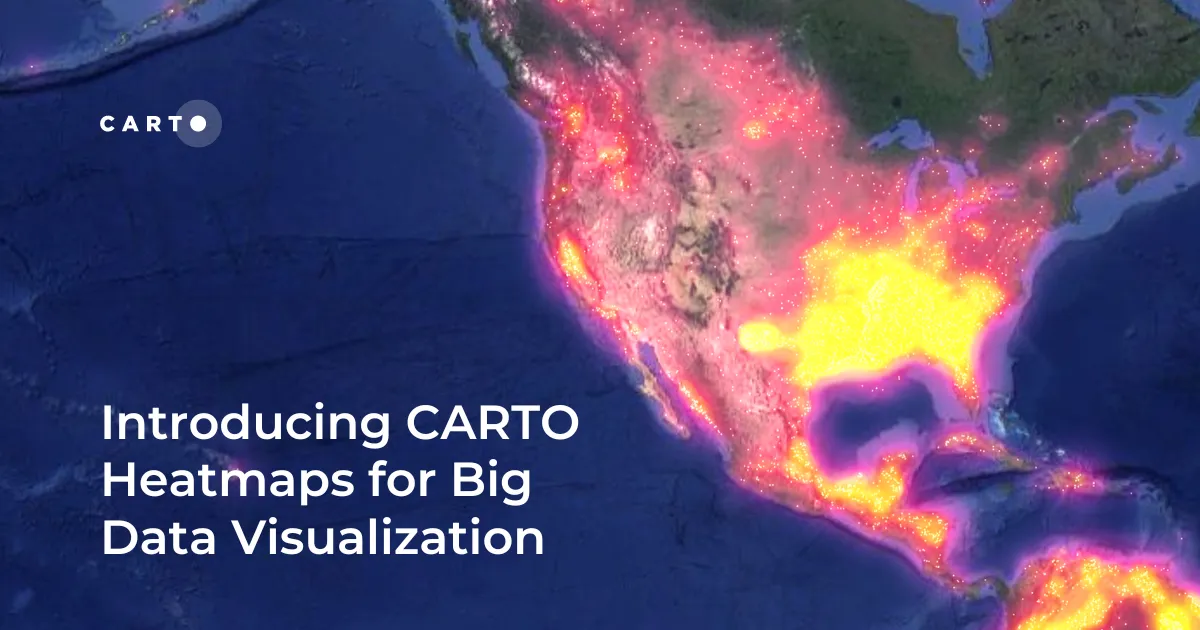
Enhance your big data visualization with CARTO's heatmap style! Learn how to impactful, large-scale heatmaps with this guide.
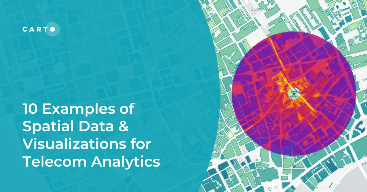
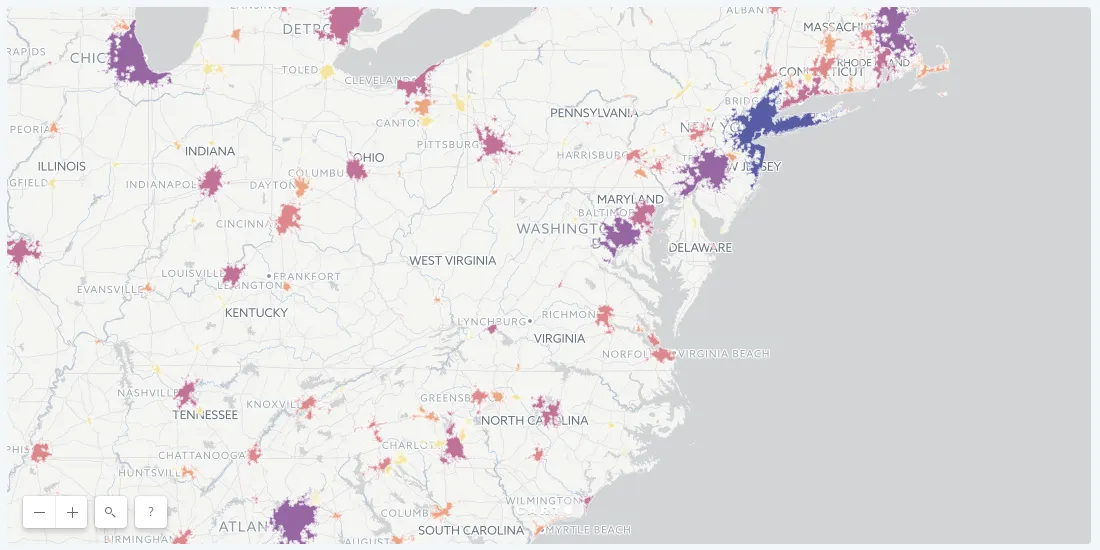
Explore 10 maps using CARTO's cloud-native platform and spatial data for telecom analytics to enhance network optimization, coverage, and customer satisfaction.
Unlock advanced spatial analysis in Databricks with CARTO’s Analytics Toolbox. Visualize & analyze large geospatial data inside your data warehouse.

Fathom's Flooding Risk Scores now available on the cloud with CARTO! Make more intelligent decisions for insurance, financial services & engineering.
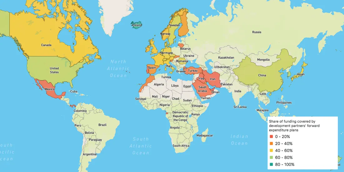
Officially launched in March 2018, the Global Partnership's Dashboard is specifically designed to be the monitoring tool that Partner Countries need to measure their progress
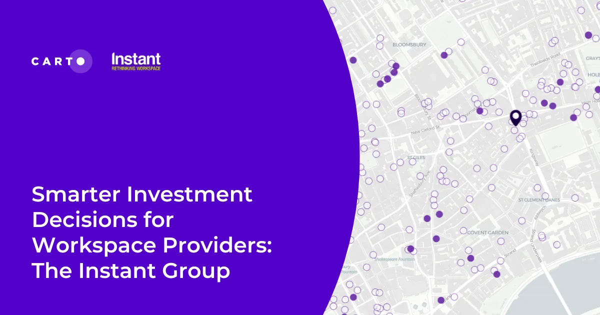
Make smarter investment decisions for flexible workspace with The Instant Group’s Coworkintel platform, powered CARTO.
One online retailer based out of New York City was able to measure ROI of their ad campaigns by mapping sales and ad location data.

Discover CARTO's vision for democratizing spatial analysis by making raster data accessible on the cloud & learn about upcoming initiatives.