

Spatial analysis & visualization for more intelligent tourism planning
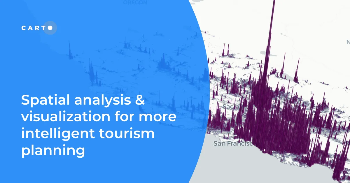
Discover how spatial data analysis and visualization empowers tourism organizations to personalize experiences, optimize resources & make strategic decisions.
Discover how spatial data analysis and visualization empowers tourism organizations to personalize experiences, optimize resources & make strategic decisions.
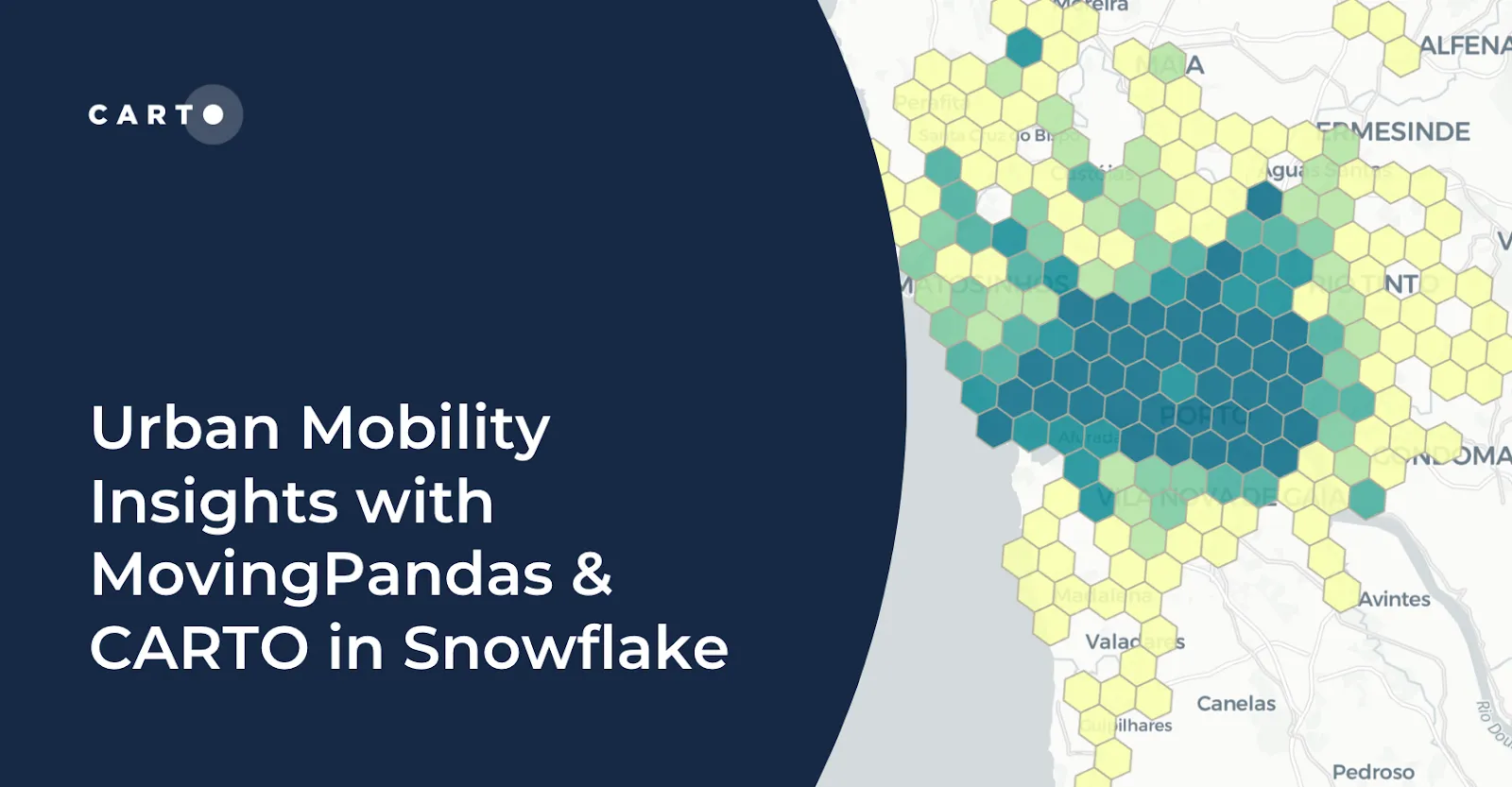
Learn how integrating MovingPandas with CARTO in Snowflake boosts urban mobility analysis by uncovering traffic hotspots and optimizing city transportation.

Discover the latest in Spatial Data Science at SDSC24 New York! Join us on October 16-17 for insights, workshops, and networking opportunities.
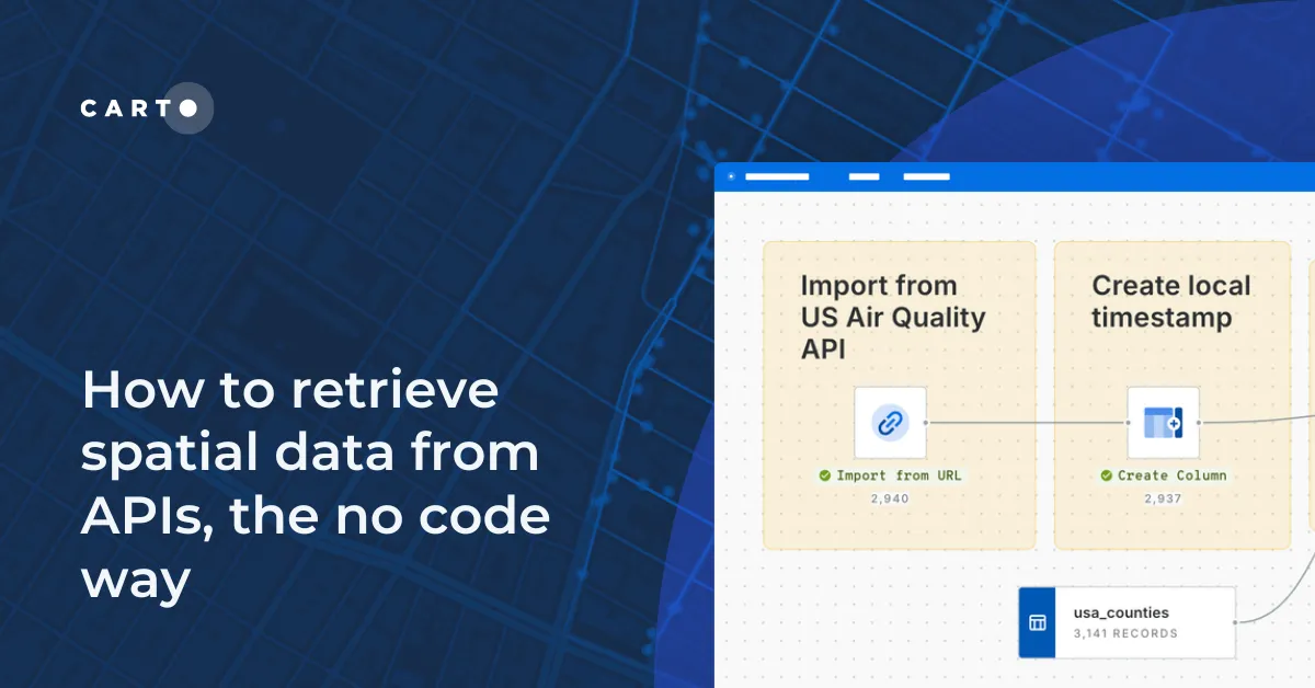
Learn how to retrieve spatial data from APIs without coding! Discover the benefits of using REST APIs for scalable and automated geospatial analysis.
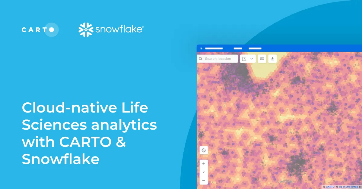
Optimize Life Sciences analytics with cloud-native geospatial solutions using CARTO & Snowflake. Scale data insights for improved decision-making.
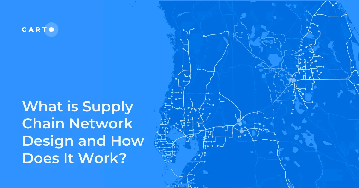
Improve your supply chain network design! Use spatial analysis to optimize your supply chain design for cost savings, efficiency, resilience & sustainability.

Access FCC telecom data on CARTO for seamless, cloud-native insights! Analyze broadband & mobile availability, speeds, and more for the entire U.S.
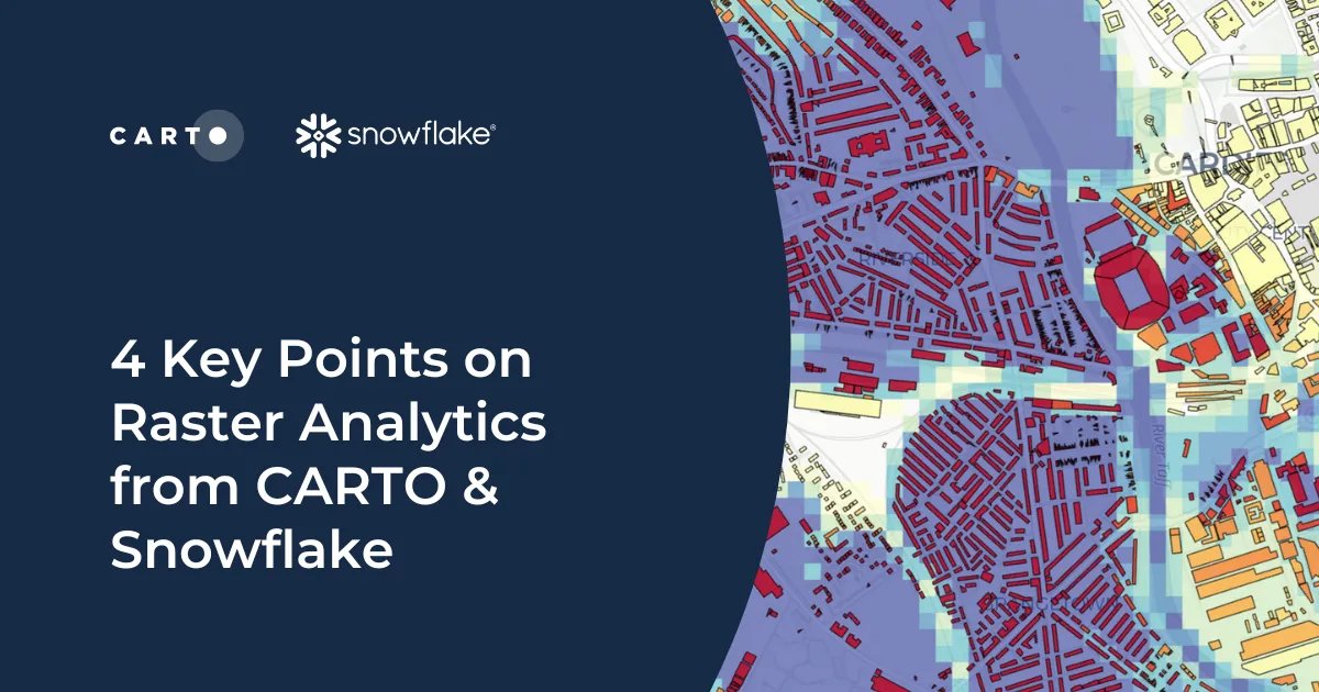
Discover how cloud-based raster analytics with CARTO & Snowflake streamlines large dataset management and enhances spatial analysis.
New to CARTO? Discover the first 5 things to try, from running a cloud-native spatial analysis to creating your first map.
What does it mean to be truly cloud-native? Enhance security, eliminate data silos & redundancy, and revolutionize your geospatial workflows with CARTO.