

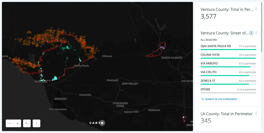
Real-time updated map of addresses inside LA wildfires perimeter
This map shows real-time data of the perimeter of the wildfires as well as the streets most impacted.
This map shows real-time data of the perimeter of the wildfires as well as the streets most impacted.
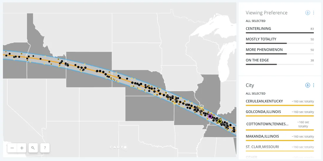
A solar eclipse is headed to the US on August 21st. Find out the best places to watch it, and whether you're in the path of totality or not.
Discover key geospatial insights from Google Cloud Next 2025 - AI, low-code tools, Earth Engine, and more innovations shaping the future of location tech.
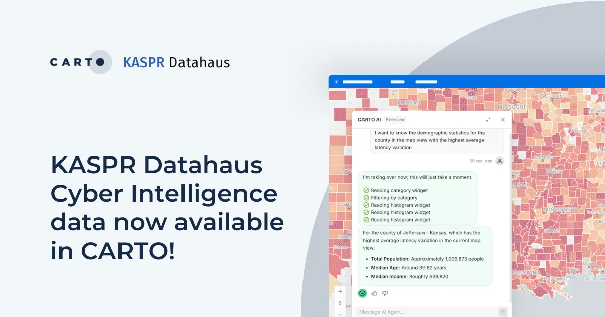
Announcing KASPR's global cyber intelligence data - now in CARTO! Monitor internet performance, optimize networks & drive smarter geospatial decisions.

Announcing the latest new features in the CARTO platform from Q1 2025! AI Agents, cloud-native raster, QGIS integrations - and more!
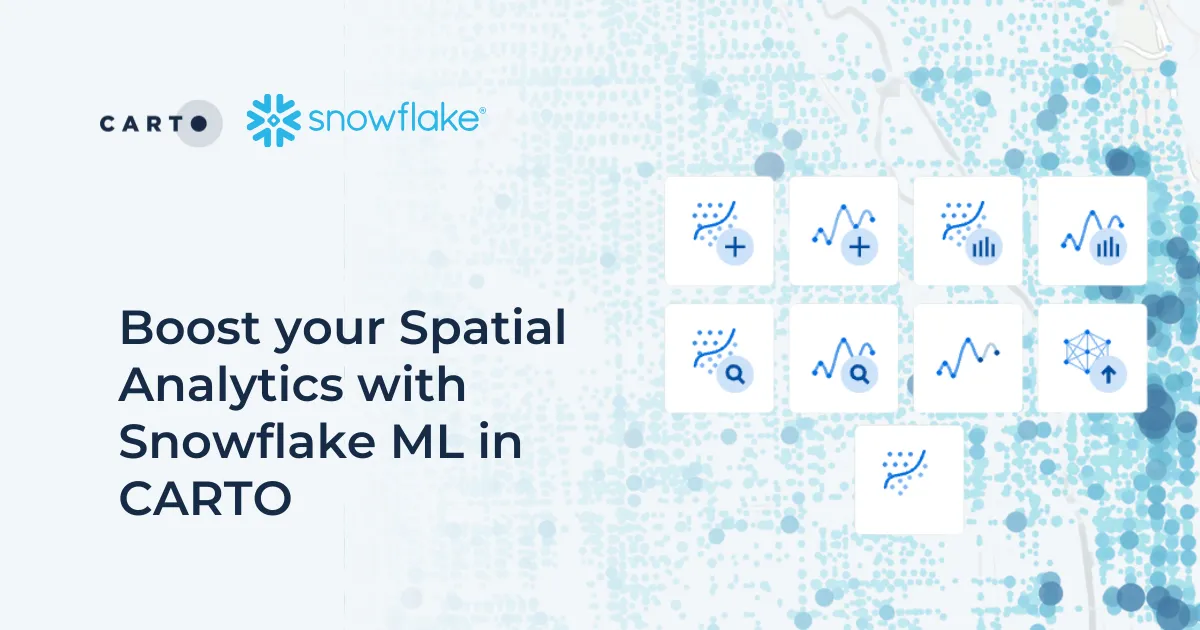
Discover how Snowflake ML in CARTO simplifies machine learning for spatial analytics. Easily build, train, and deploy forecasting models in your workflows.
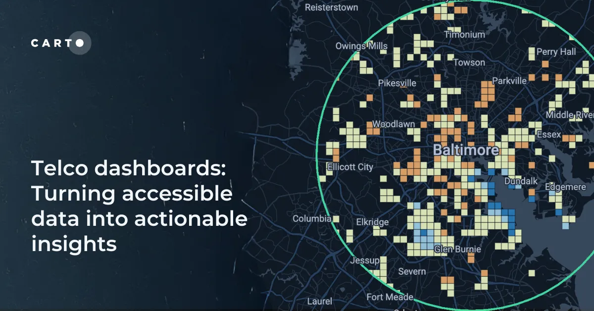
Discover how CARTO enhances data accessibility, empowering decision-makers with actionable insights to improve network access for senior citizens and communities.

Chad Jennings is joining CARTO's Advisory Board. He has been instrumental in shaping the geospatial analytics landscape at companies like Google Cloud & Almanac.
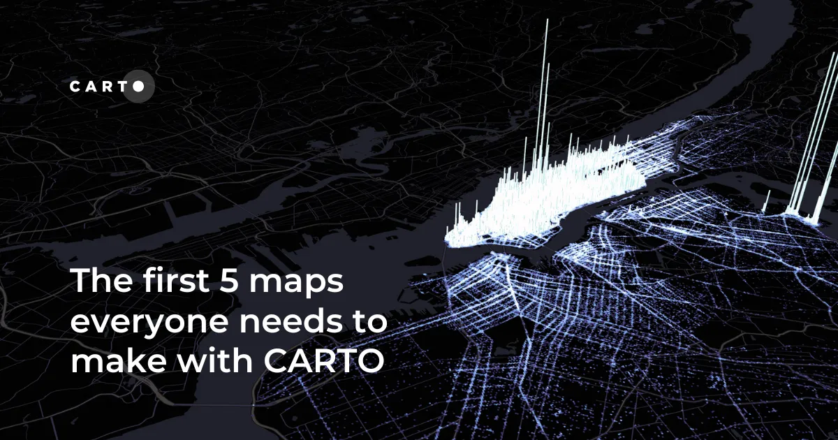
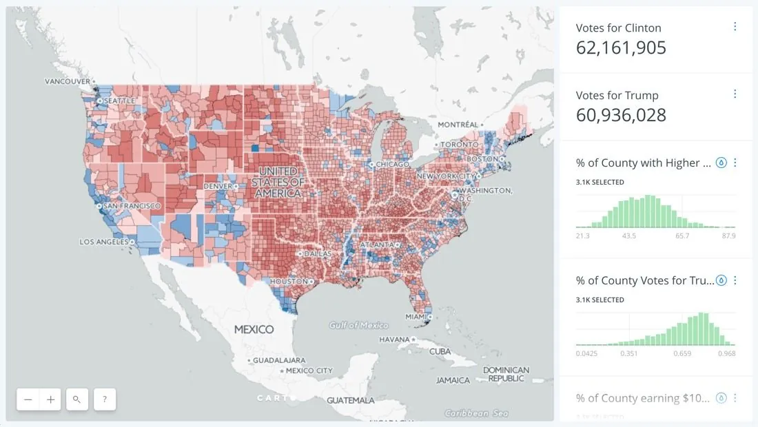
New to CARTO? Start with these 5 essential maps! Learn how to analyze proximity, work with big data, integrate real-time updates, and leverage AI-driven insights.