


Working with CARTO VL
Find out what our team members created during recent CARTO VL hackathon and learn why new feature advancements can provide better user experience for your location intelligence apps.
Find out what our team members created during recent CARTO VL hackathon and learn why new feature advancements can provide better user experience for your location intelligence apps.
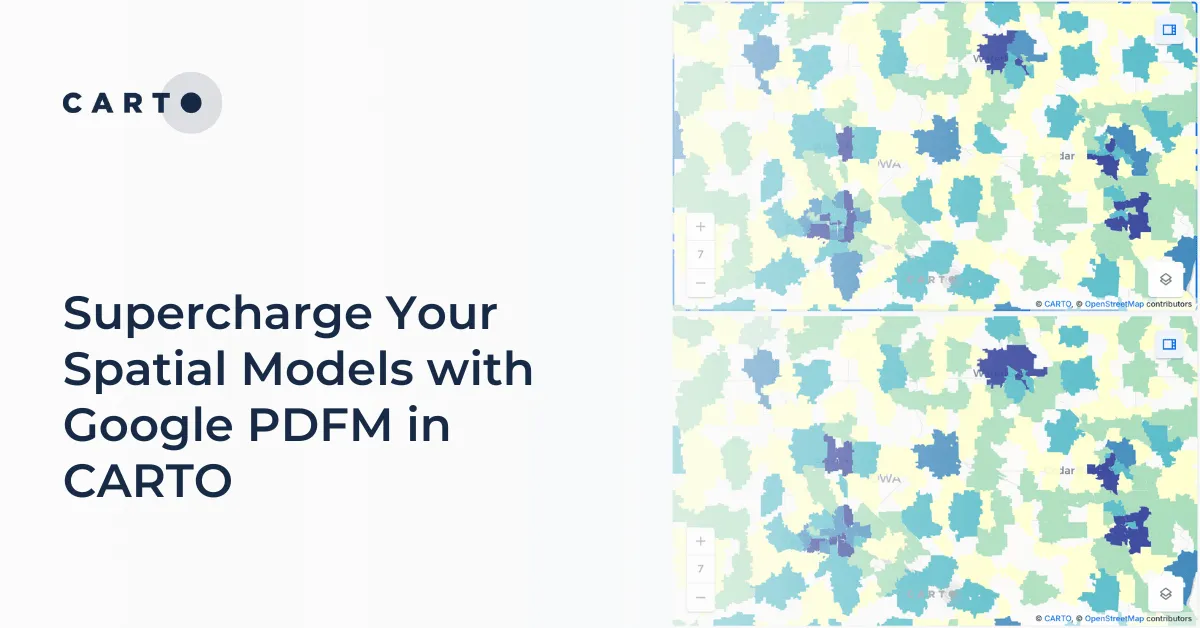
Integrate Google's PDFM embeddings into CARTO Workflows for enhanced spatial models. This blog shows two use cases on how these embeddings improve predictions.

Discover top geospatial highlights from Snowflake Summit 2025 -from AI to open formats -shaping the future of cloud-native spatial analytics.
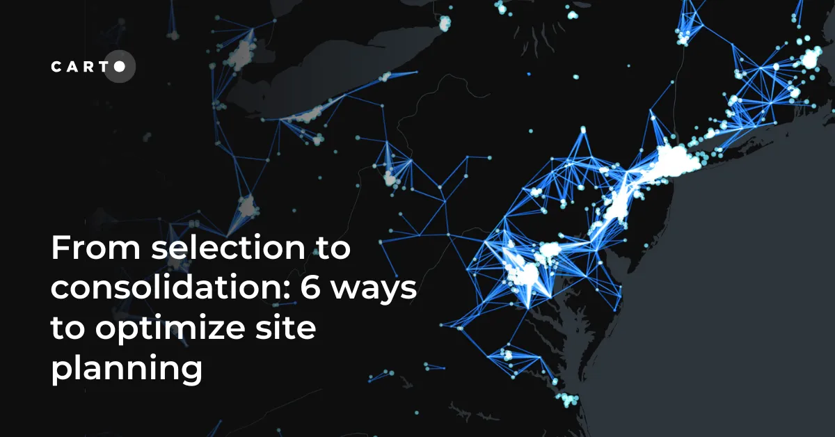
Optimize site planning with data, AI, and real-time insights. Discover 6 of the best strategies in this expert guide from CARTO.
Explore how geospatial foundation models like Google’s PDFM are revolutionizing spatial analytics, from disaster response to urban planning with CARTO.

Data Through Design features works from developers, designers, and data professionals within the greater civic tech community that uses open data to better understand living in New York City.

Discover Location Intelligence with CARTO at MWC 2018

Explore how AI, open data, and scalable geospatial tech are redefining GIS at #SDSC25 London. Catch highlights, keynotes, and sessions on demand.

Learn what’s in store during our Spatial Data Science Conference on Friday, October 12th

Find out what's in store during our upcoming Location Intelligence Summit in Madrid, Spain starting April 19th