Blogs
Home

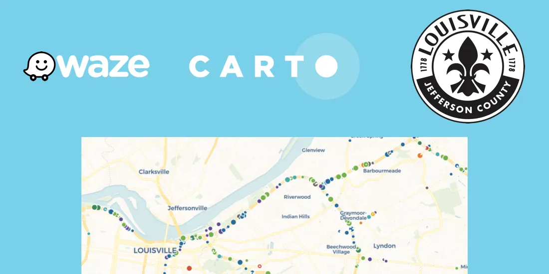
Announcing Open Source Tools Connecting CARTO and Waze

New Open Source Tools are Enabling Smart Cities to Collect, Visualize, and Analyze Waze Traffic Data

CARTO Contributors ·
Blogs
Home

Using Mapbox Vector Tiles in CARTO for Maps & Location Apps

Using Mapbox Vector Tiles in CARTO for Maps & Location Apps

CARTO Contributors ·
Blogs
Home

Unlock trade-area analysis at scale with H3 Isochrones

Scale travel-time analysis with H3-based isochrones in CARTO. Faster joins, overlap insights, and 96–99% time savings powered by TravelTime.

CARTO Contributors ·
Blogs
Home

PostGIS Performance Profiling

CARTO Contributors ·
Blogs
Home

Patching Plain PostgreSQL for Parallel PostGIS Plans

Stock PostgreSQL 10 can be improved for better PostGIS parallelism with a couple patches.

CARTO Contributors ·
Blogs
Home

MVT generation: Mapnik vs PostGIS

CARTO Contributors ·
Blogs
Home

Measuring tile rendering processes to improve performance

CARTO Contributors ·
Blogs
Home

Introducing CARTOframes: A Python Interface for CARTO

CARTOframes allows data scientists to extract the power of CARTO without leaving their Python environment.

CARTO Contributors ·
Blogs
Home

Introducing CARTO VL - Vector Technology for Location Intelligence

Introducing CARTO's new Vector Library, enabling faster rendering speeds, enhanced capabilities for on-the-fly analysis, responsive data-driven visualizations, and dynamic user interactions

CARTO Contributors ·
Blogs
Home

How to use CARTO.js with React

Example of how to create a naive application with CARTO.js and React.

CARTO Contributors ·