Spatial Data Science
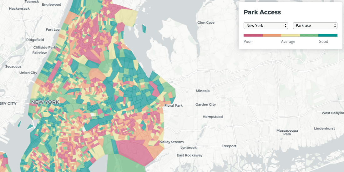
Quantifying Park Use in American Cities: Spatial Models and Novel Measures
Learn how cities can use spatial modeling to more accurately assess park use to inform planning and facilities decisions
CARTO
·
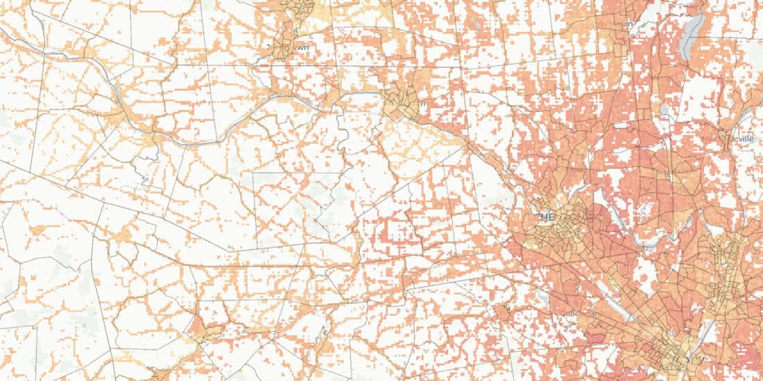
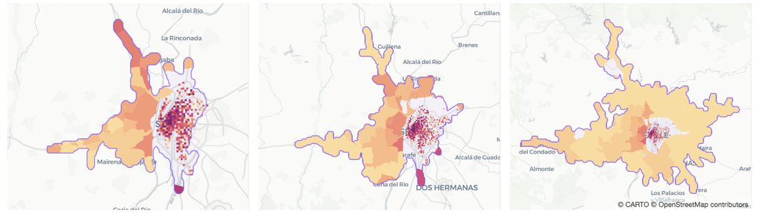
Spatial Data Science
Magnify your Analysis: Statistical Downscaling to Enhance Spatial Resolution
CARTO
·