Blogs
Use cases

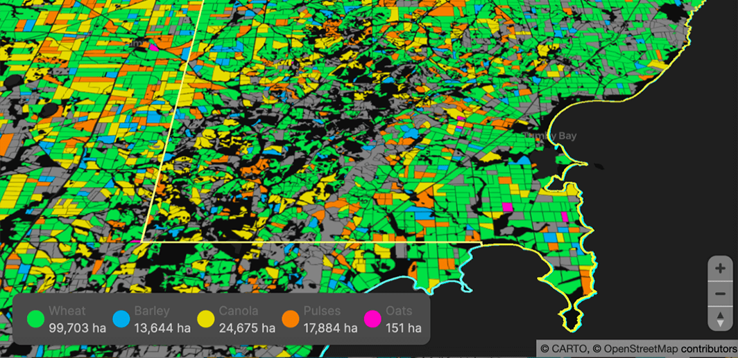
Agricultural Sustainability with CARTO, Indigo Ag, & Snowflake

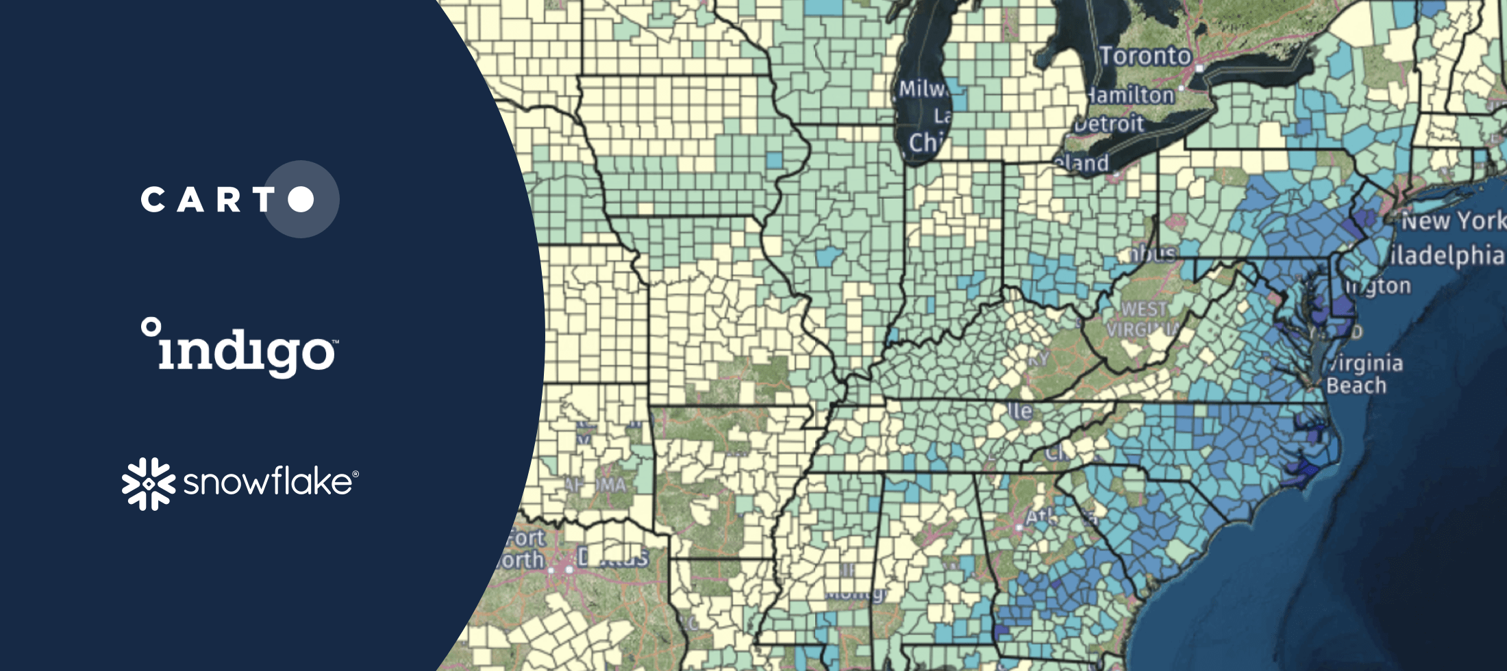
With our platform & Snowflake connector, read how Indigo Ag rapidly gathers, styles, & shares insights from spatial models improving agricultural sustainability

CARTO ·
Blogs
Events

#SDSC21: Financial Services Summit Agenda Now Available

Sign up for talks from JPMorgan, Goldman Sachs, Bloomberg, Swiss Re, Signal Capital, Willis Towers Watson, Jefferies, PicPay, Cifas, BBVA, Google, & Safegraph

CARTO ·
Blogs
Use cases

How Google Cloud & CARTO power geospatial analysis at scale

Discover how to scale your analytical workflow & access massive geospatial datasets with Google Cloud & CARTO & the general availability of BigQuery Tiler

CARTO ·
Blogs
Use cases

COVID Vaccine: Mapping Rollout & Optimizing Supply Chain

As COVID vaccines become more widely available we look maps analyzing the rollout & supply chain optimization for an efficient & equitable immunization strategy

CARTO ·
Blogs
Spatial Data Science

How to Enrich POS Data to Analyze & Predict CPG Sales

Learn how to enrich & perform spatial modeling on retail point of sale data to analyze CPG sales & predict future performance in new locations

CARTO ·
Blogs
Spatial Data

Foursquare POI & Foot Traffic Data now available in CARTO

We are pleased to announce our partnership with Foursquare, leaders in location technology, & the inclusion of its POI & foot traffic data in our Data Observatory

CARTO ·
Blogs
Cloud Native

Announcing CARTO BigQuery Tiler General Availability

We are excited to announce the general availability of CARTO BigQuery Tiler, a unique solution for visualizing massive spatial datasets hosted in Google BigQuery

CARTO ·
Blogs
Events

Announcing #SDSC21: A Series of Spatial Data Science Events

Following the success of #SDSC20 we're excited to announce 2021's online edition of the Spatial Data Science Conference plus 2 more industry specific events

CARTO ·
Blogs
Use cases

Agritech & Spatial Data: Predicting Crop Yield in Agriculture

Read how our partner NGIS built a spatial web application, CroppingHub, to detect crop types & predict crop yield using cloud computing & machine learning

CARTO ·
Blogs
Use cases

How to Improve Retail Trade Area Accuracy with Mobility Data

Read how to improve retail trade area accuracy by moving beyond buffers & drive times to using spatial analysis & human mobility data

CARTO ·