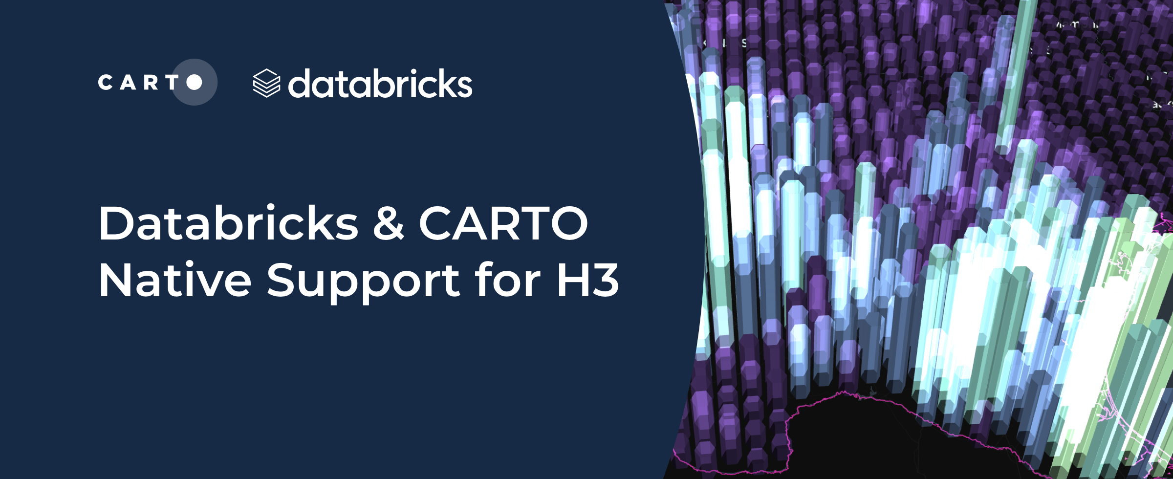
Databricks support for H3 in collaboration with CARTO
Introducing H3 for Databricks with CARTO! Unlock fast and efficient big data analytics in the cloud with Spatial Indexes

CARTO Driving Sustainability Impact Worldwide on Google Cloud
CARTO and Google Cloud have collaborated on sustainability projects for micro-mobility, government infrastructure, and preserving natural resources use cases.

Spatial Data Scientist of the Year Award 2022
At #SDSC22 the first winner of the Spatial Data Scientist of the Year award will be announced. Submit your nomination today!

CARTO’s Ultimate Guide to Spatial Joins & Predicates with SQL
Get started with Spatial SQL with this guide to using spatial relationships.

How to create Google Street View pop-ups with CARTO
CARTO's guide to using Google Street View images in your map pop-ups.

Using Location Intelligence to combat The Great Resignation in Logistics
The Great Resignation means competition for staff is ever increasing. CARTO explores how spatial unemployment patterns can be used to tackle this.

Venue Suitability Analysis for the Eurovision Song Contest with CARTO
How to use Location Intelligence to pick the optimal venue for the UK's Eurovision Song contest with CARTO

Sistema.bio's Story: Optimizing field operations with CARTO
Understand how Sistema.bio is using CARTO to manage and plan their field operations to bring their sustainable biodigester to the world’s smallholders.

From PostgreSQL to the Cloud: Setting up a Spatial Data Infrastructure in BigQuery
As cloud-based architectures gain momentum, read our step-by-step guide to migrating PostgreSQL spatial data and analytics workflows to Google’s BigQuery.

COVID, mapped: The analytics behind an epidemic
CARTO teams up with ZOE to analyze & predict the spatial patterns of COVID-19to develop a blueprint for understanding the spatial patterns of an epidemic.

