Blogs
Spatial Data Science

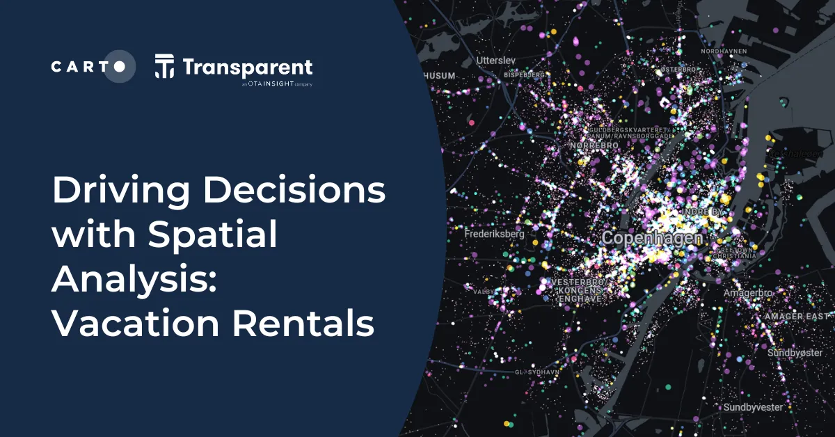
Driving Decisions with Spatial Analysis: Vacation Rentals

Discover spatial trends in vacation rentals & relationships with land use, ft. tutorials on how to conduct this analysis and use it to drive decision-making.

CARTO ·
Blogs
Cartography & Visualization

Map tiles: 5 examples to get started

Learn how to effectively visualize geospatial data with tilesets, including a step-by-step guide and 5 examples to inspire you!

CARTO ·
Blogs
Customer Stories

Towards a Carbon Neutral Future with CARTO & NetCarbon

Discover how NetCarbon, winners of Planet’s Copernicus Masters competition, leverages CARTO to tackle climate change with scalable satellite data solutions.

CARTO ·
Blogs
Events

Spatial Spotlights: Introducing Weekly Geospatial Webinars!

Expand your spatial knowledge with Spatial Spotlights, weekly 15-minute webinars with CARTO experts sharing tips, tricks & best practices.

CARTO ·
Blogs
News

What's New in CARTO - Q2 2023

Announcing the latest new features in the CARTO platform from Q2 2023.

CARTO ·
Blogs
Spatial Data Science

Do you need to code for a career in data?

Exploring the role of coding in data careers | Do you need to learn, and which language is right for you? Low-code, SQL, Python, R, HTML & Javascript.

CARTO ·
Blogs
Use cases

Boosting International CPG Market Share with Location Intelligence

Unlock Global CPG Growth with Location Intelligence! Overcome challenges, target the right markets, cater to preferences & boost revenue.

CARTO ·
Blogs
Cloud Native

Deploy CARTO spatial apps directly in the Snowflake Data Cloud

Announcing CARTO’s support for Snowflake’s Snowpark Container Services & Snowflake Native Apps for cutting-edge geospatial analysis & optimization.

CARTO ·
Blogs
Spatial Data Science

Using Spatial Composites for Climate Change Impact Assessment

Learn how to assess climate change risks with spatial composites; measure impacts and support decision-making for infrastructure & natural resources.

CARTO ·
Blogs
Spatial Data

Unlock the Potential of Spatial Indexes: 10 Powerful Uses of H3

Unleash the potential of H3 and revolutionize spatial data analysis with this lightweight global grid system. Explore real-world examples.

CARTO ·