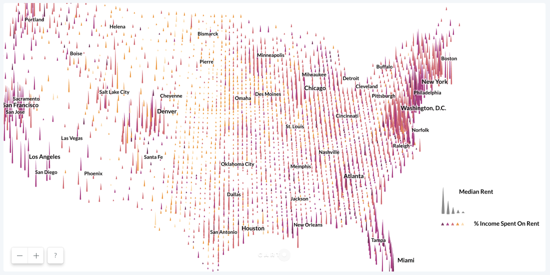
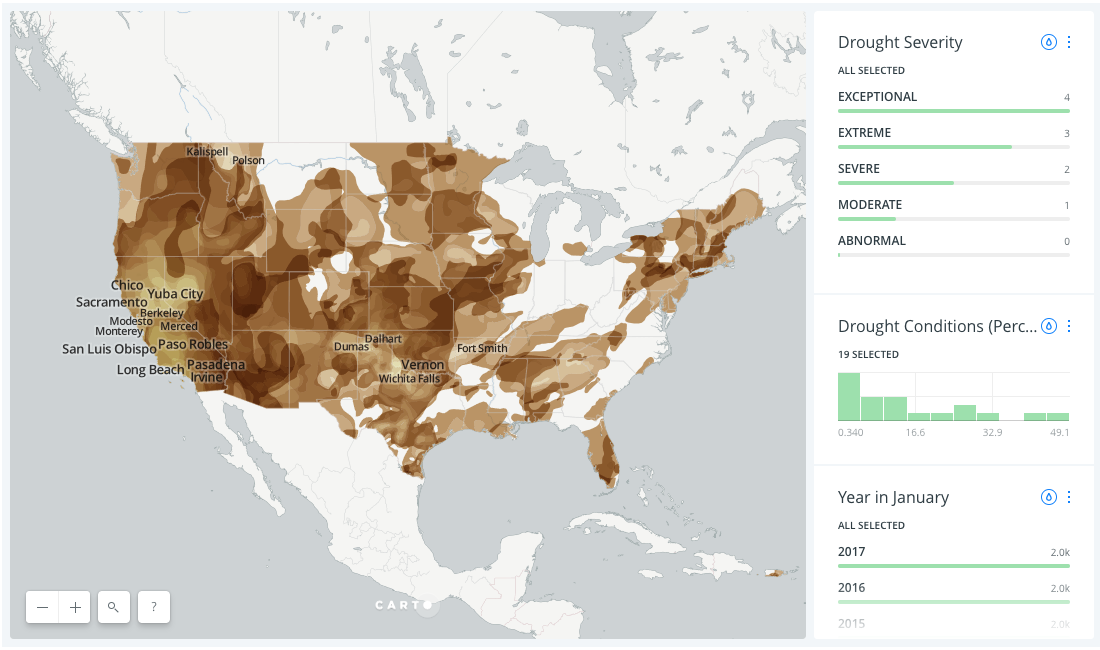
Unless you're Leonardo da Vinci, being both an artist and a scientist doesn't come naturally, so we've found two maps that demonstrate how colors, labels, boundaries, and symbols can help you create a powerful map.
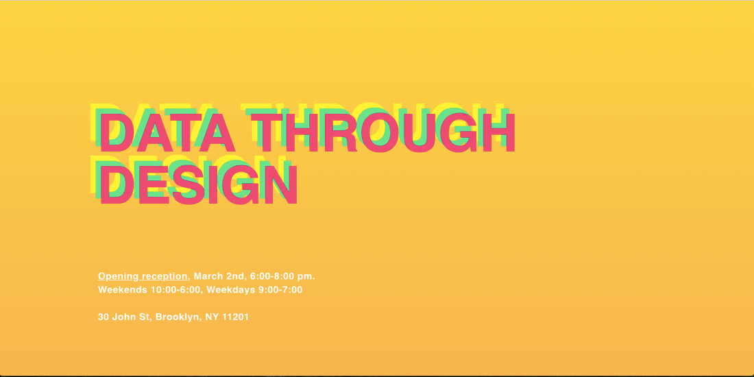
Data Through Design features works from developers, designers, and data professionals within the greater civic tech community that uses open data to better understand living in New York City.
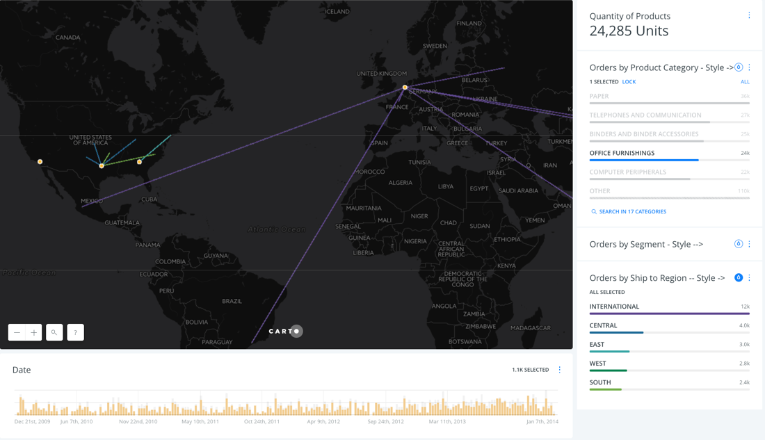
We held an internal hackathon to demonstrate some of the functionality of our updated Javascript library. Check out what our developers and designers came up with!
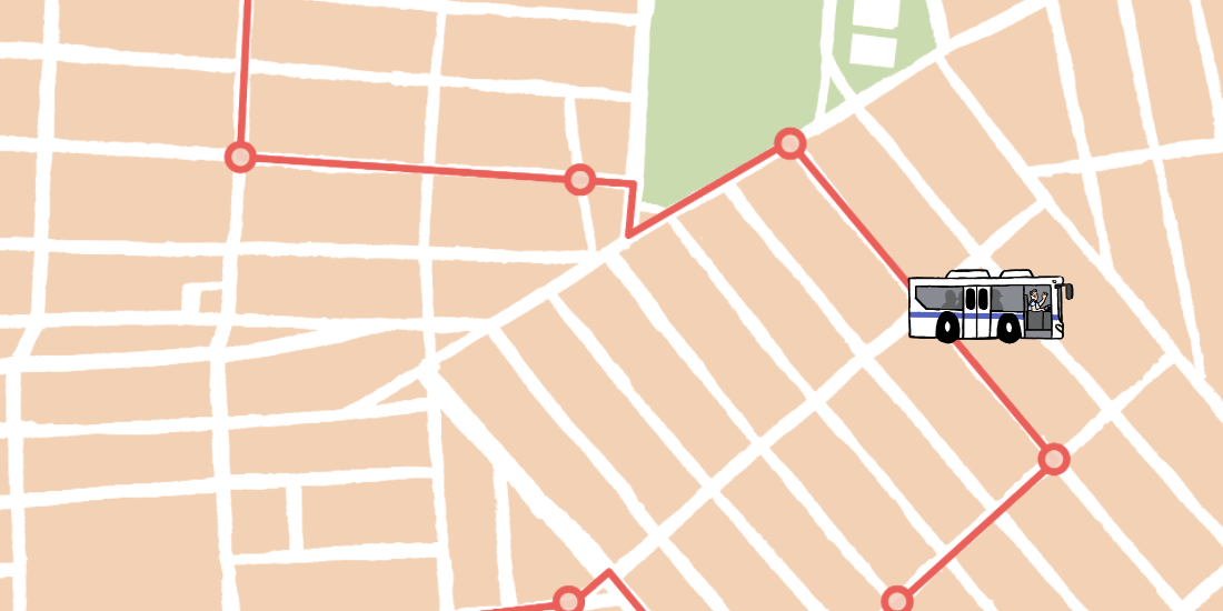
As the subway enters a declared state of emergency, a new coalition is proposing changes based to the NYC bus system based on location data to help solve the city's transit woes.
Learn to deliver consulting presentations in a more engaging format using Location Intelligence tools.
CARTO·
By clicking "Accept All Cookies", you agree to the storing of cookies on your device to enhance site navigation, analyze site usage, and assist in our marketing efforts.