CARTO & Google Cloud announce sustainability partnership to fight Climate Change


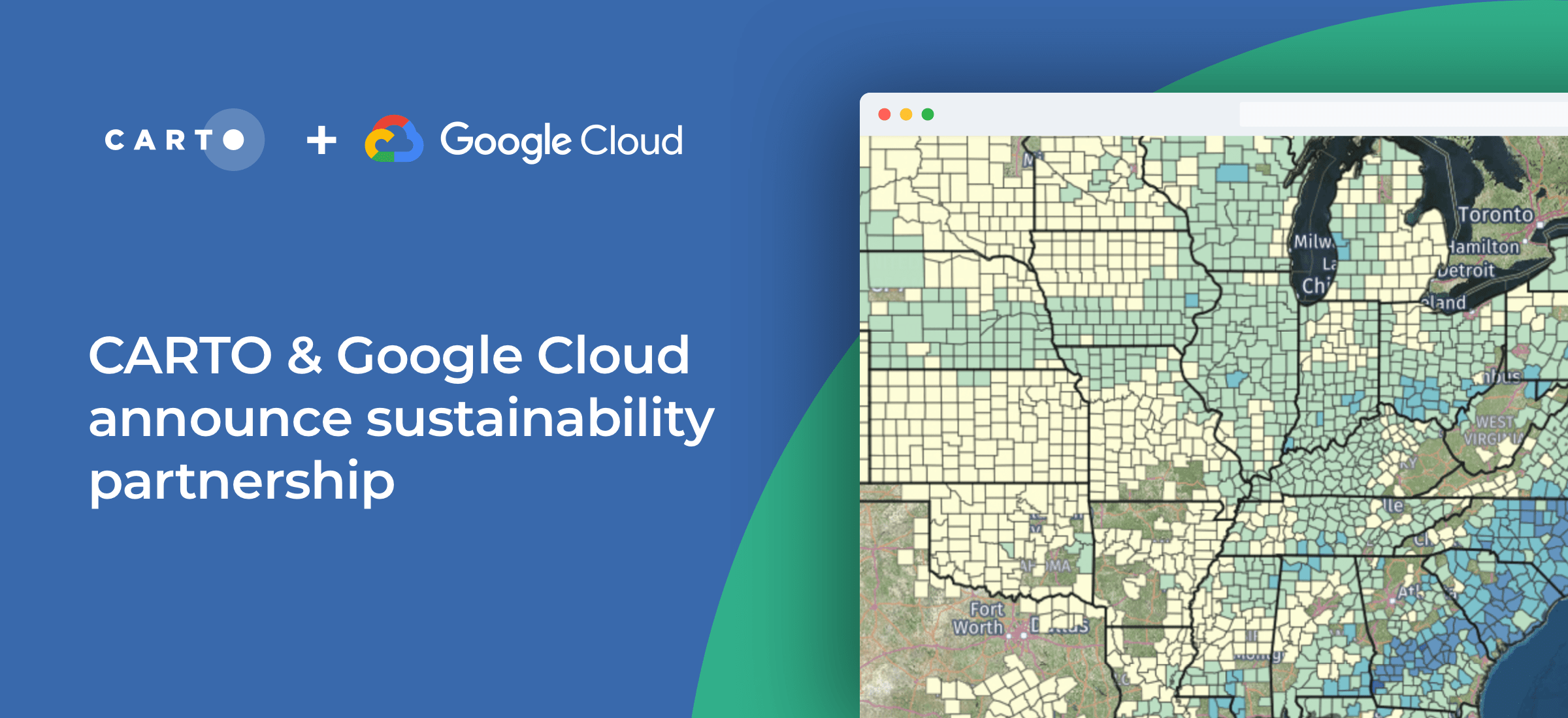
Today we’re excited to announce a further partnership with Google Cloud at the 2021 Google Cloud Next event supporting their ambitious sustainability program - enabling global organizations to better understand the impact of climate change.
As well as CARTO the program brings together leading sustainability-focused companies such as Climate Engine Geotab NGIS and Planet who will provide crucial applications and more than 50 petabytes of data. These datasets include satellite imagery demographics mobility and telematics data - enabling Google Cloud customers in both the private and public sector to approach their sustainability initiatives in a more data-driven way using Google’s BigQuery machine learning (ML) and Earth Engine products.
Read more about this announcement in Google's Press Release.
So how does it work?
Our Spatial Extension for BigQuery enhances BigQuery with geospatial data analysis and visualization allowing customers to leverage data from Google Earth Engine perform Spatial ML with Vertex AI and overlay all that in rich 2D or 3D using the open-source data visualization library deck.gl and Google Maps Platform’s Maps JavaScript API.
Our extensive spatial data catalog is also natively available in BigQuery so customers can access pre-processed spatial data without needing to extract transform or load it or perform complex spatial transformations for analysis.
All of this together can enable a wide range of use cases such as catastrophe analytics climate resilience analysis extreme weather monitoring biodiversity analysis or deforestation tracking - among others.
“The industry’s cleanest cloud”
Kevin Ichhpurani Corporate Vice President Global Ecosystem at Google Cloud reflected on the announcement in Google’s announcement:

| This project has received funding from the European Union's Horizon 2020 research and innovation programme under grant agreement No 960401. |